Bikepacking
From the Atlantic to the Mediterranean by bike
Contributed by Irene Efremidis
Southwest France
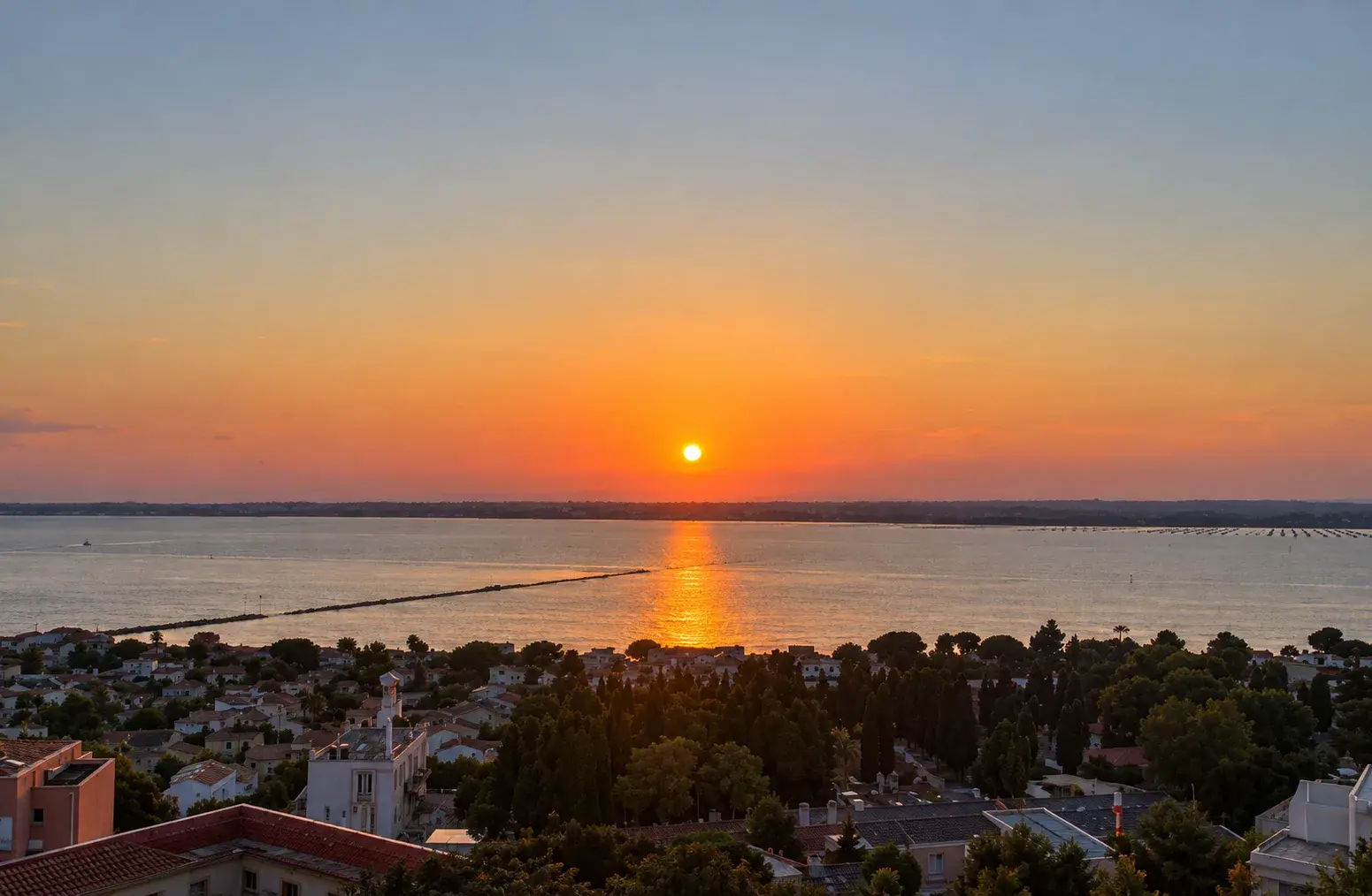
An 11-day, 600-kilometre bike journey across southern France from Bordeaux on the Atlantic coast to Montpellier on the Mediterranean, following historic canal towpaths and greenways.
- Distance
- 600
- Days
- 11
- Difficulty
- 3
- Stages
- 5
Also found on Lady on a Bike
To cover the distance from the Atlantic to the Mediterranean, we cycled along five different bike routes: the Piste Cyclable Roger Lapébie, through La Réole and Entre-Deux-Mers, the Canal latéral à la Garonne, the Canal du Midi, and La Méditerranée à Vélo (EuroVelo 8) as far as Montpellier.
To give the journey a rounded finish with notes of Cabernet, a visit to the Bordeaux Wine Museum (Cité du Vin) felt mandatory.
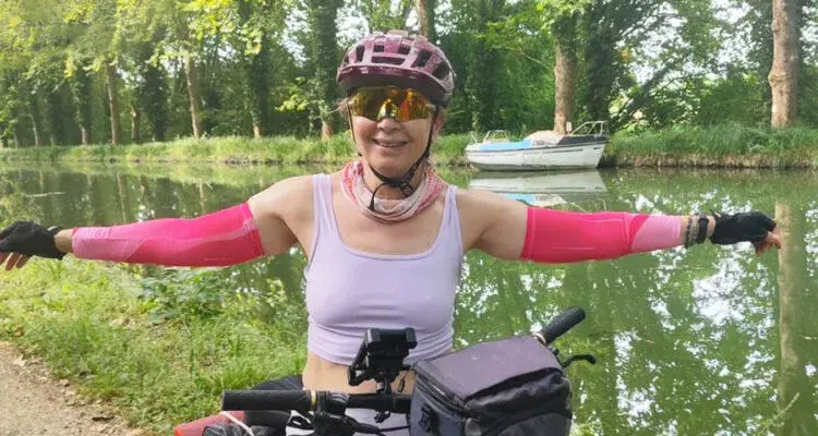
Stage 1: Piste Cyclable Roger Lapébie
- Distance
- 57
We started from Bordeaux and entered the first section of the Canal des 2 Mers à Vélo, on the Roger Lapébie cycle path, without knowing who the man behind the name was. We learned he was a Tour de France winner, the first to use a derailleur, and that he died in Bordeaux in 1996.
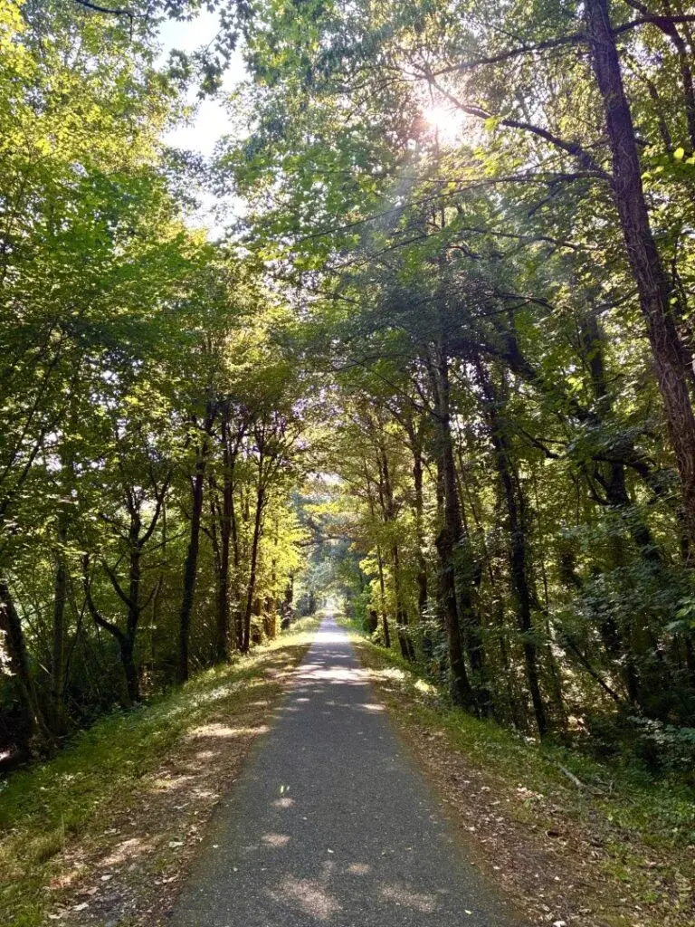
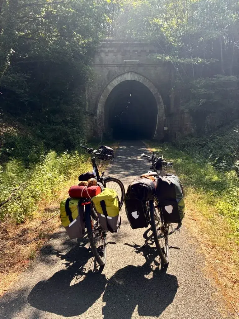
We followed the route for 57 kilometres from the city centre to the village of Sauveterre. It was laid out along an old railway line that has been turned into a green, shaded cycle path, with flawless waymarking, frequent bike repair stations, water fountains and perfect asphalt. We passed former railway stations that have been converted into cafes and bike stops. The dark tunnel of La Sauve near Créon made a big impression on us.
Halfway through the stage we had to make a fairly long detour towards Blasimon to stay overnight, as accommodation in the area was very scarce.
Stage 2: La Réole and Entre-Deux-Mers
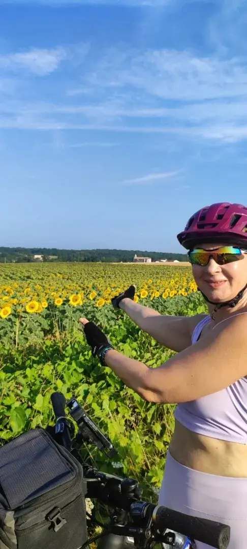
On the second section of the route we unfortunately left the Piste Cyclable Roger Lapébie and entered the vineyards of La Réole. All day we pedalled up and down cultivated hills dotted with farm estates. The landscape looked strongly like Tuscany. The route had minimal traffic, even less shade, and poor signage. The climbs were demanding and the temperature was unbearably high, with water nowhere to be found.
Reaching the village of La Réole, we stopped at the only open cafe in the village centre beside the 13th-century church of Saint-Pierre and the former Benedictine monastery. We took a breath, though it was hardly enough, and ventured a stroll into the steep, labyrinthine maze of alleyways.
We were struck by how many villages, like La Réole, seemed to uncoil like snails. Built around a church, a castle or a central square, they recall the circulades, the medieval circular settlements of southern France where houses and streets form concentric rings around a central core: stone snails carrying centuries of history.
We dropped back down to our route and finally joined the Canal de Garonne, which we followed over the next few days to Toulouse.
Stage 3: Le Canal latéral à la Garonne
- Distance
- 200
Here the character of the route changed completely. At first we followed small roads from La Réole to Pont Berrat, then picked up the paved, signposted greenway beside the canal. A little further on, our route joined the Canal de Garonne near Fontet.
We took our lunch break at the little port of Fontet, exhausted from the heat and fatigue. We jumped under the beach shower fully clothed to soak ourselves before setting off for Marmande, staying on the green path beside the canal. We spent the night in Marmande on the banks of the Garonne, founded in 1182 by Richard the Lionheart and developed into an important trading centre thanks to river navigation. The town is known throughout France as the tomato capital.
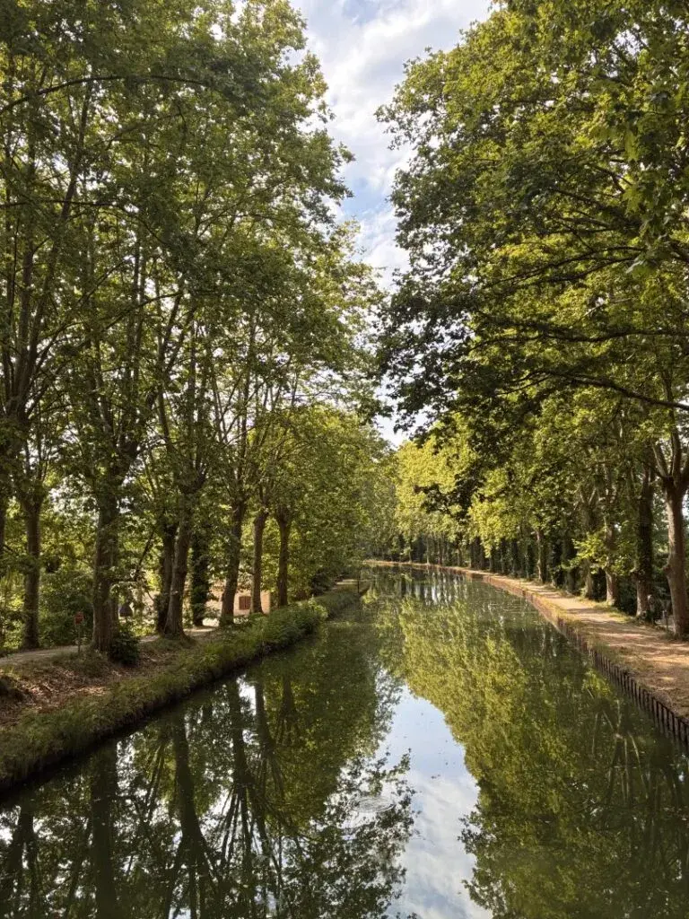
We continued the following day along a well-paved path shaded by centuries-old plane trees, passing restored lock houses beside the water. Cycling here was generally easy because the route was flat and almost straight, with 90 percent running on old towpaths (halage) that were well signposted. These towpaths were originally built for horses and donkeys towing barges before motorized boats appeared in the early 20th century. The animal walked along the bank, hitched by rope to the vessel, so the path was flat almost everywhere because animals could not manage gradients. That explains the gentle nature of our route. Towpaths usually run along only one bank, so every so often we crossed over small bridges to the other side.
Stage 4: Canal du Midi
Then came the final, unexpectedly grueling stretch of our journey.
The Canal du Midi is the continuation of the Canal de Garonne to the Mediterranean, although historically it was built first. Its history won us over immediately: Pierre-Paul Riquet, without even being an engineer, conceived it, proposed it to Colbert in 1662, received approval from Louis XIV in 1666, and spent fourteen years working on it with 12,000 labourers, though he never lived to see it completed. The water supply challenge was solved by the Saint-Ferréol reservoir, while at Fonserannes we admired the flight of nine locks lifting boats like an elevator.
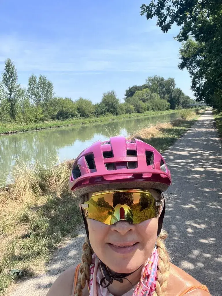
Where wine, wheat, timber and coal once moved along the canal, we travelled on our bicycles. The plane trees that shaded it for two centuries are disappearing due to an incurable disease, and we felt it in the pedals, with long stretches offering no shade and few places to rest. Even so, the canal has been a UNESCO World Heritage site since 1996, a piece of history that continues to transport you in its own way.
Stage 5: La Méditerranée à Vélo
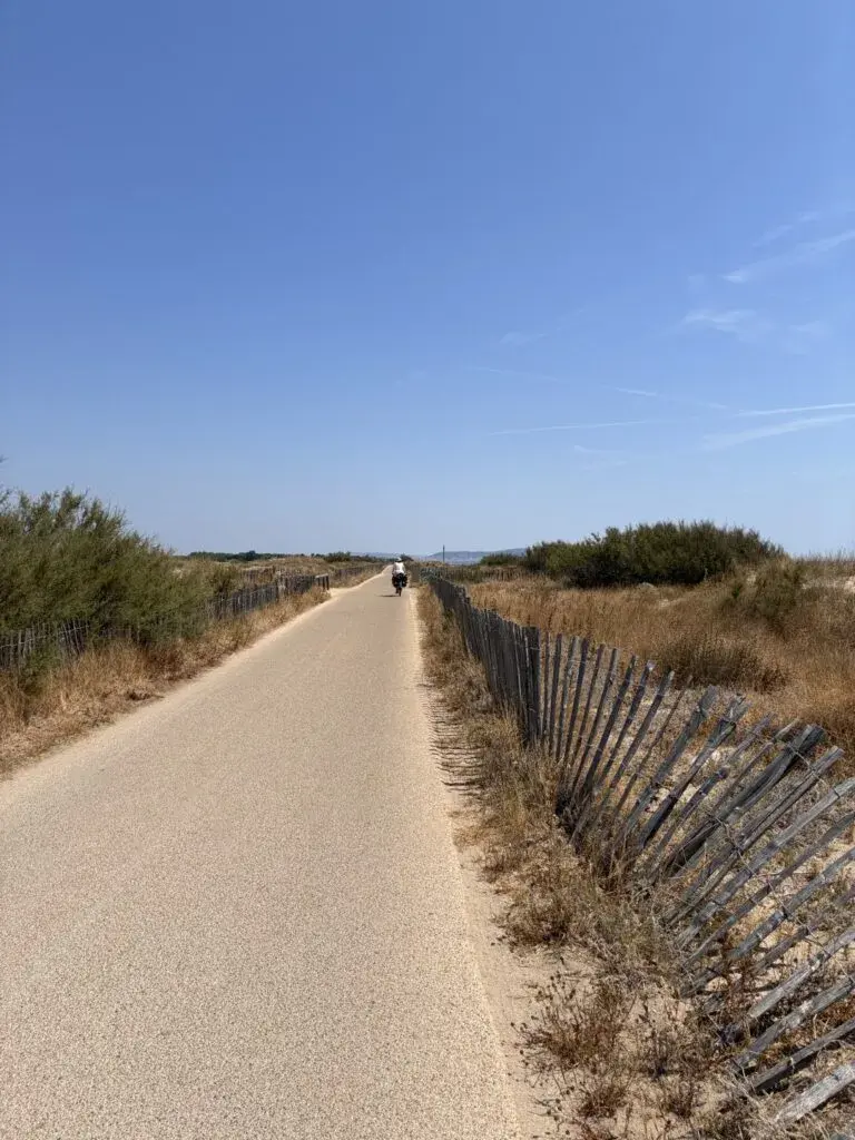
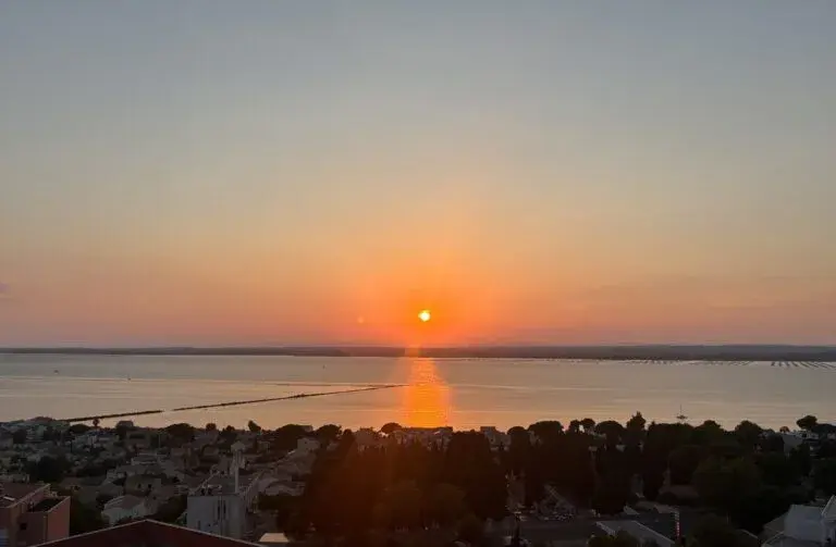
We left the canals behind and reached the coast, expecting to finally ride alongside the sea and cool off a little. Far from it. The sea was barely visible, hidden in many places behind sprawling campsites, sand dunes and housing complexes. Only from a drone did the landscape look appealing. Around Sète, the cycle path became an ordeal beside the dunes: 20 kilometres with no shade, no water, and not even a bench.
Closing thoughts
Would I do it again? No. I saw it, I lived it, I admired it and I'm leaving it behind me. The canals of Southwestern France will remain a beautiful memory, but my eyes are already set on the next bike ride.
Highlights
- The cool, dark former railway tunnel of La Sauve near Créon on the Roger Lapébie cycle path.
- Medieval circular settlements (circulades) like La Réole, where stone streets and houses curl like snails around a central church or square.
- The Fonserannes water staircase near Béziers, where nine lock basins lift canal boats step by step.
- Cruising flat towpaths beside centuries-old plane trees and restored lock houses on the Canal de Garonne.
Whereabouts
- Spans Southwest France from Bordeaux on the Atlantic side to Montpellier on the Mediterranean coast.
- Connects five distinct cycling paths across the country: the Roger Lapébie greenway, country lanes through Entre-Deux-Mers, the Canal de Garonne, the Canal du Midi, and EuroVelo 8 along the Mediterranean.
Must-Know
- Accommodation is sparse between Bordeaux and the Canal de Garonne, so overnight stops such as Blasimon must be booked well ahead.
- Do not expect panoramic sea views along the Mediterranean leg: dunes, large campsites, and residential developments block the water for long stretches.
- Reliable navigation apps like Google Maps and Cycle.travel help bridge sections where route signage is absent.
Food
- You'll be hungry! Wherever you find a bakery or supermarket (rare finds), load up the bikes. But how much can the poor thing lift... Because: At 6 in the morning when we start, everything is closed.
- Along the route, one rarely finds anything. Detours are needed in the villages. And luck… At the place you reach, at least one Epicerie will be open.
H2O
- Water fountains are located regularly along the Piste Cyclable Roger Lapébie.
- Water sources are absent across the hills of Entre-Deux-Mers and along the coastal path past Sète, so carry enough bottles before departing towns.
Trail Notes
- Around 90 percent of the Canal de Garonne section runs along flat, paved former towpaths (halage), crossing small bridges as the route periodically shifts banks.
- The Piste Cyclable Roger Lapébie follows a disused railway corridor on smooth asphalt with clear signage and converted station stops.
- Crossing Entre-Deux-Mers requires pedalling over rolling agricultural hills with demanding climbs, sparse waymarking, and very little shade.
- The Canal du Midi section has variable dirt and gravel surfaces with long stretches exposed to direct sun, as many of the historic plane trees have been lost to disease.
Hazards
- Severe summer heat and intense exposure can cause exhaustion, particularly on the unshaded stretches of the Canal du Midi and along the coast.
- The 20-kilometre stretch of EuroVelo 8 beside the dunes near Sète provides no shade, no benches, and no water points.
Weather Window
- Summer temperatures along the canals can be brutally hot, with minimal shade on long exposed sections.
- Riding outside the peak heat of midsummer makes the exposed canal banks and coastal paths far more manageable.
Access
- High-speed TGV trains connect Montpellier and Bordeaux in about five hours, but bicycle spaces are limited and must be reserved weeks in advance.
- Frequent railway stations run parallel to the route, making it straightforward to board a train if you need to bypass demanding sections.