Hiking
Off the Alta Via 1: A Four Day Dolomite Loop from Lago di Braies
Contributed by Cameron Sim
Italian Dolomites
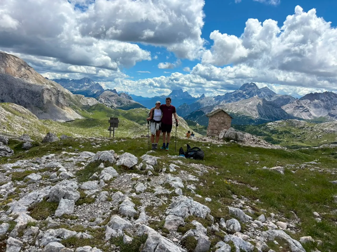
A four day hut to hut loop through the Fanes Sennes Braies Nature Park in the Italian Dolomites. It starts and finishes at Lago di Braies, dips onto the famous Alta Via 1 for the first half, then peels off it to find the quieter stuff.
- Days
- 4
- Distance
- 53
- High point
- 2391
- Ascent
- 2970
- Difficulty
- 6
- Stages
- 4
We based ourselves for the first night at Camping Sexten up in Sesto, which was really nice. Proper tents, tidy grounds, and close enough to the start to make the following morning easy. That was the main reason we picked it.
From there we ran a four stage loop out of Lago di Braies. Up onto the Alta Via 1 for the first two days, then a pivot back off the AV1 to close the loop through the nature park and back to the car. Four days, four huts, and lots of marmots.
Stage 1: Day 1 - Lago di Braies to Rifugio Biella
- Distance
- 7
- Hours
- 3.5
- Accommodation
- Rifugio Biella
- High point
- 2391
- Ascent
- 948
- Difficulty
- 6
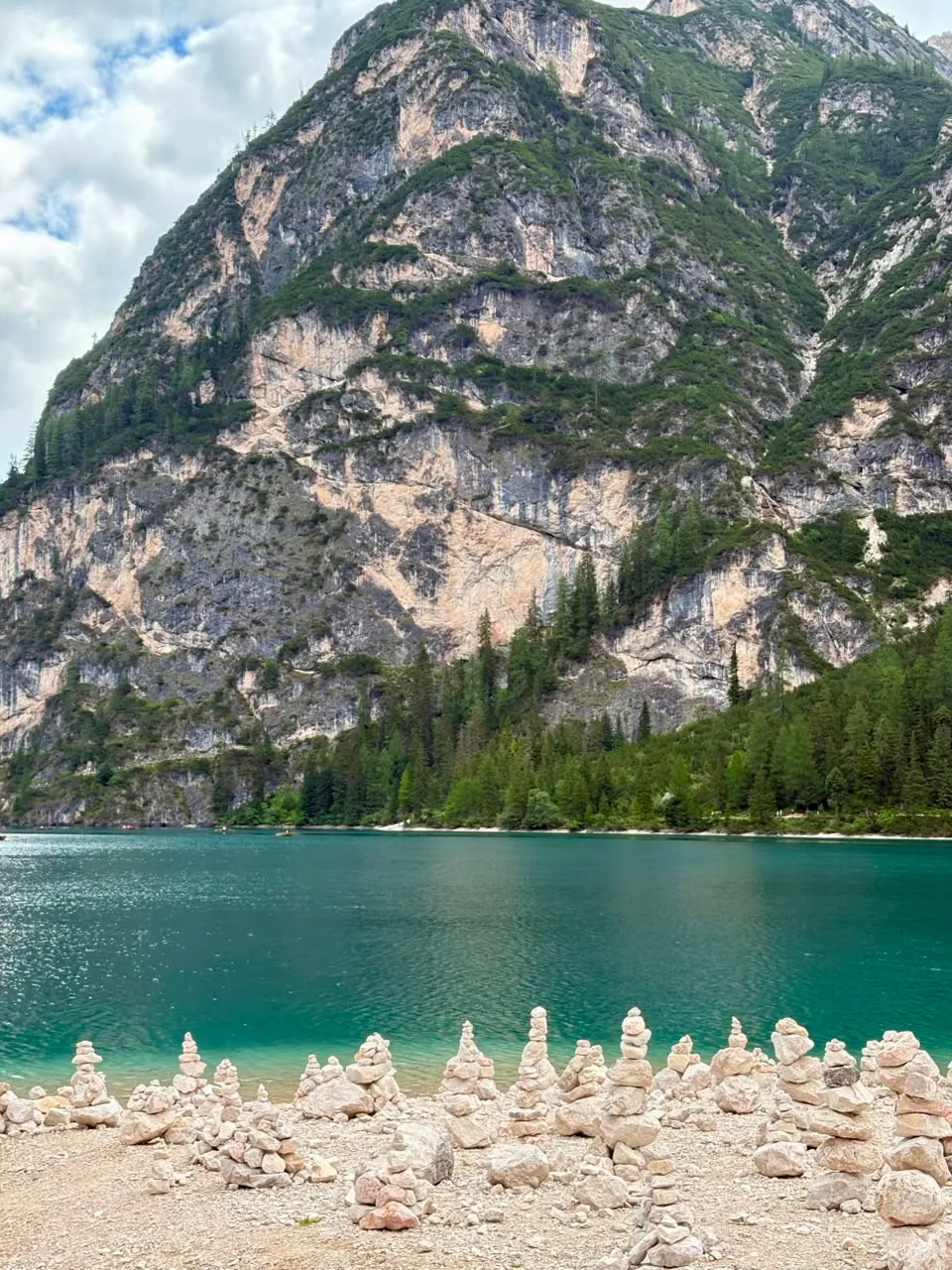
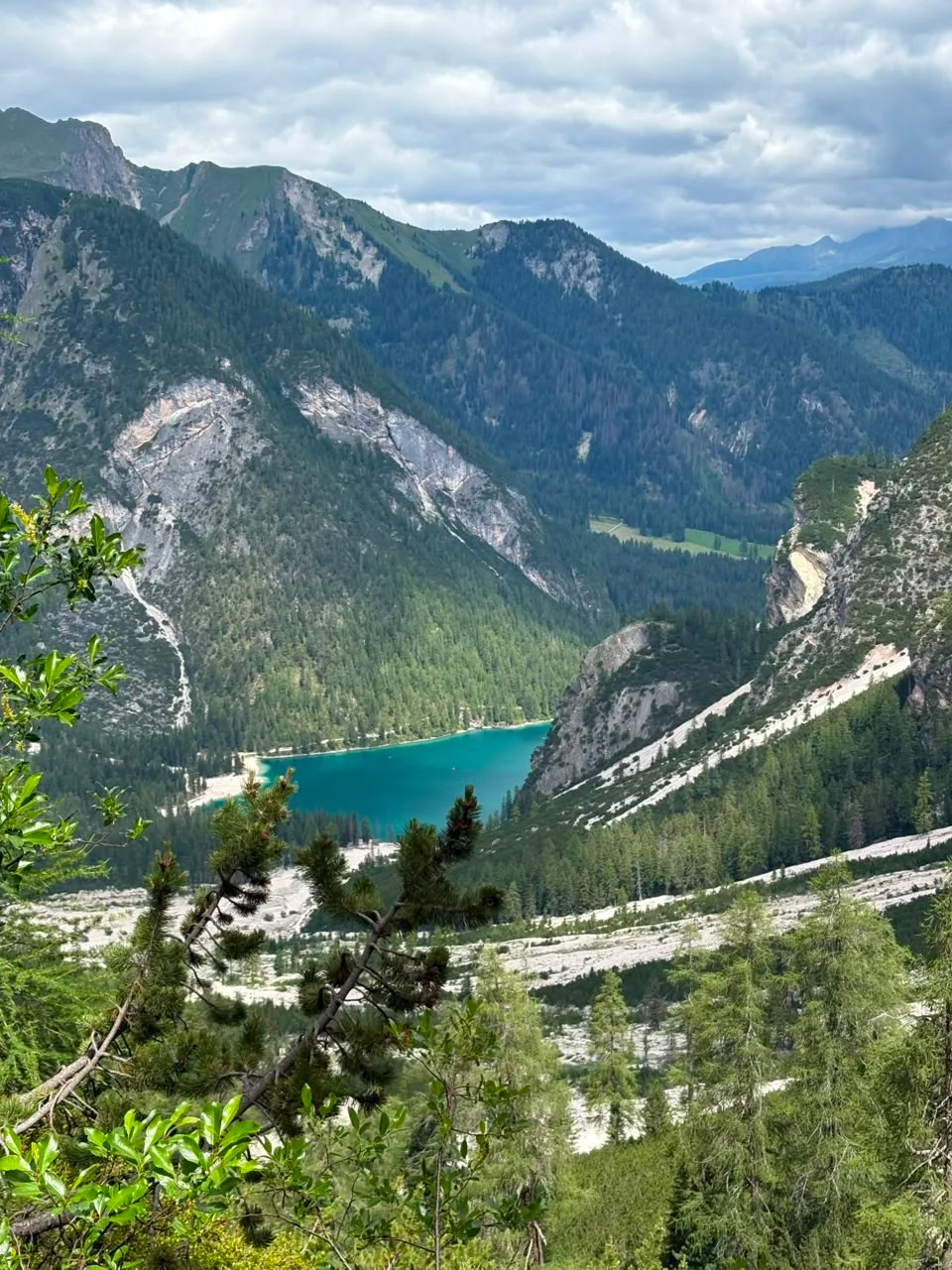
The day kicks off at Lago di Braies, we were a bit shocked at how many people were hanging around the lake. Don't let it put you off. The moment you break away onto the main trail the crowds evaporate and it's just a handful of hikers making their way up past the lake.
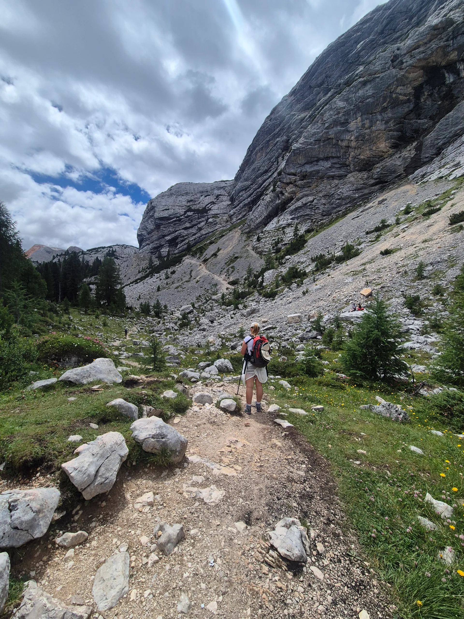
Then you climb. And you basically keep climbing for the rest of the days hike. We couldn't put our phones down at the start and pretty quickly had to make peace with the fact that literally every single moment up here is picture worthy. We were also lucky enough to spot our first marmots and some ibex (the mountain goats of the Dolomites) on the way up.
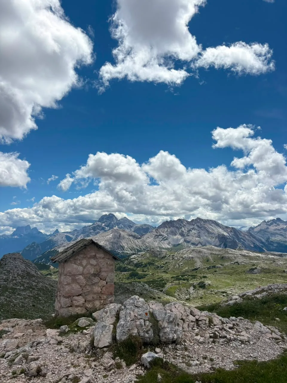
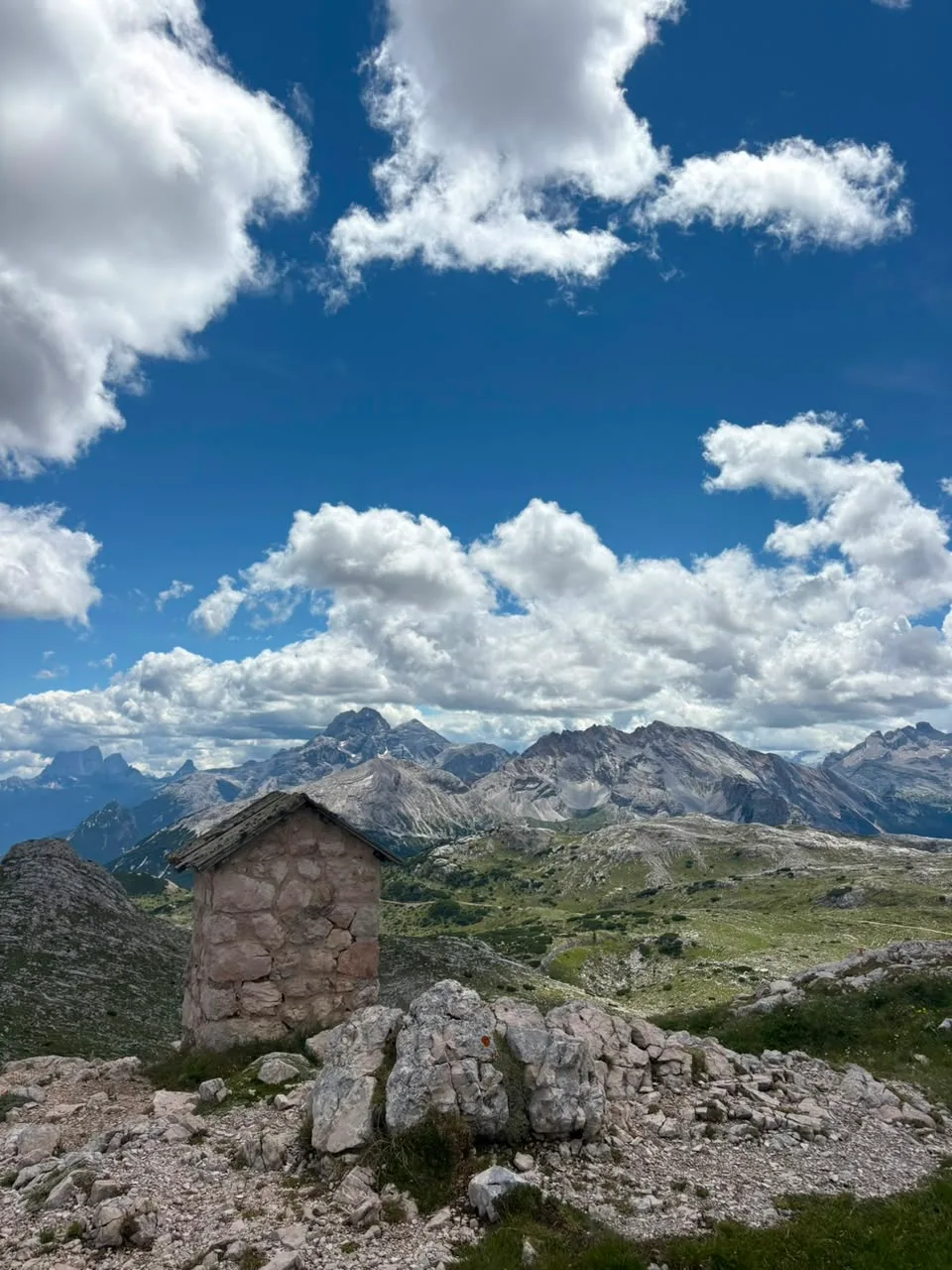
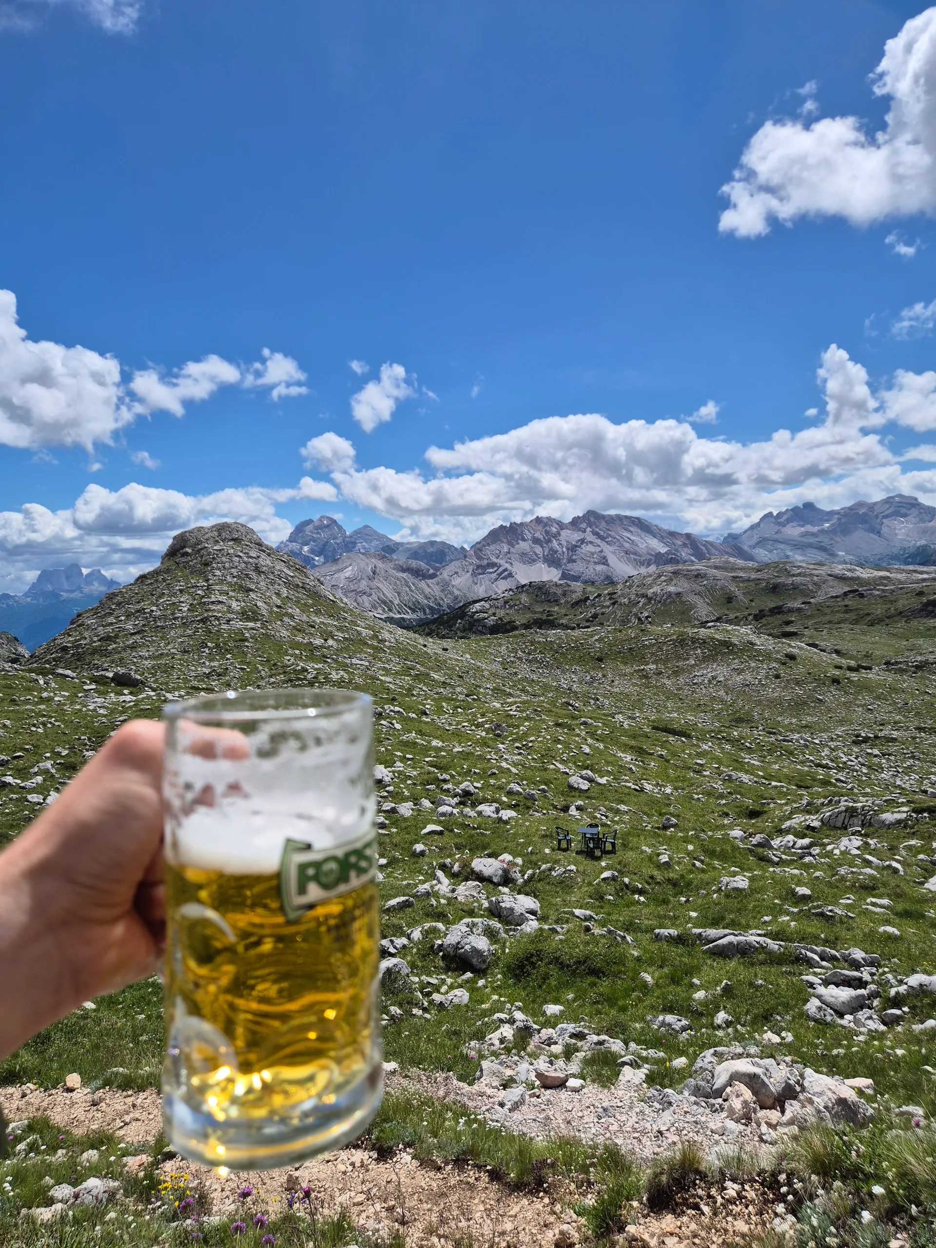
Once you top out into the high mountains and reach Rifugio Biella, it all pays off. You walk up into a huge amphitheatre of peaks.
Biella itself was the most basic hut of the trip but it was completely fine, the food was good, and we had a great night. We got chatting to a couple of other hikers and made friends over dinner. A great start.
Stage 2: Day 2 - Rifugio Biella to Rifugio Fanes
- High point
- 2329
- Hours
- 6
- Distance
- 14
- Accommodation
- Rifugio Fanes
- Ascent
- 644
- Difficulty
- 6
There's a coffee stop to be had early on at Rifugio Fanes, and then partway down you hit Rifugio Pederu at the bottom of the descent, where there's a nice restaurant. Highly recommend stopping. The food was very good, and it's perfectly placed to break up the day.
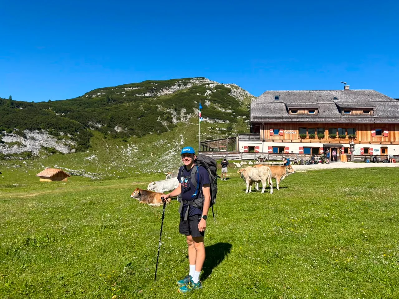
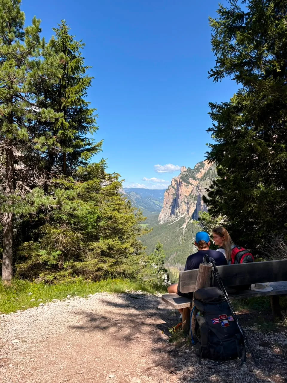
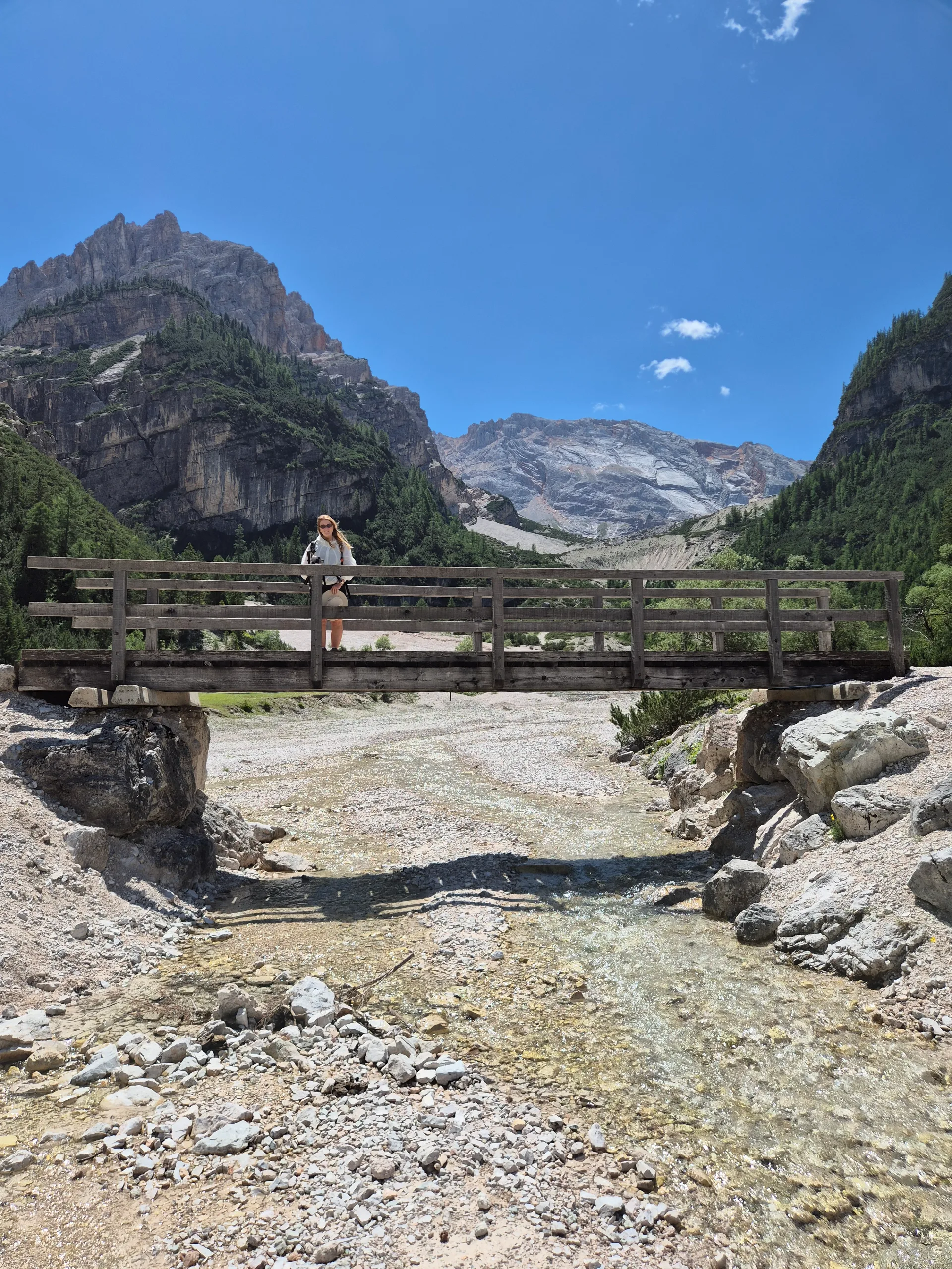
The descent is really pretty. You're on the other side of the range now, starting in a bit of forest before the terrain shifts later on into that rocky, sparse Dolomite look. Toward the end of the hike you reach Fanes, and it feels like you've walked into heaven. Crystal clear water, river streams running everywhere, cows dotted across the meadows. Rifugio Fanes ended up being my favourite hut of the trip.
Stage 3: Day 3 - Rifugio Fanes to Rifugio Rastua
- Accommodation
- Rifugio Rastua
- High point
- 2170
- Ascent
- 638
- Distance
- 14.5
- Hours
- 6
- Difficulty
- 7
This is where we left the Alta Via 1 and started curving back toward the start. I was a bit skeptical going in, thinking the next two days off the AV1 trail might be the dud of the trip. Completely wrong.
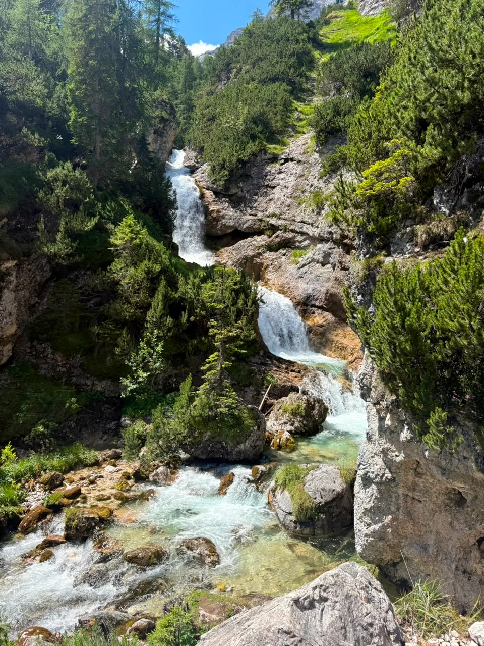
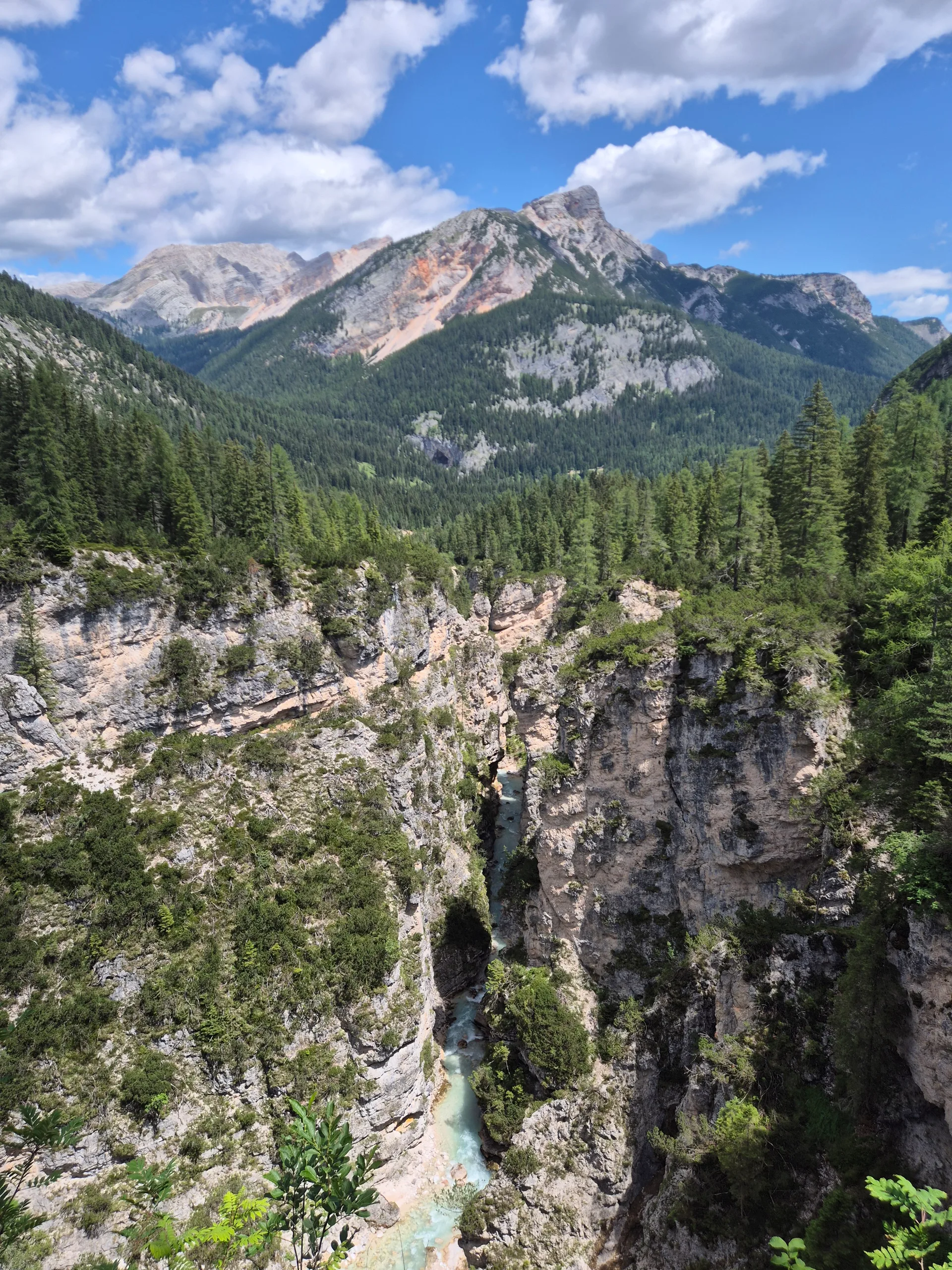
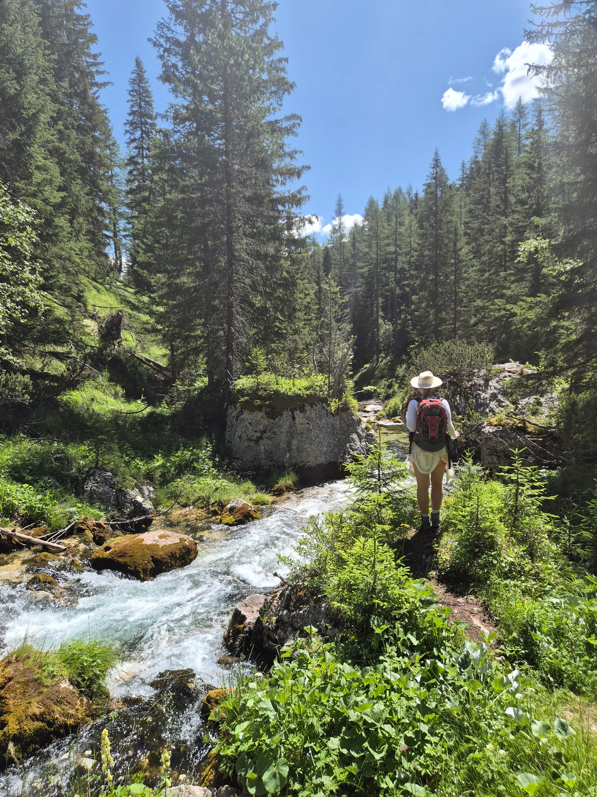
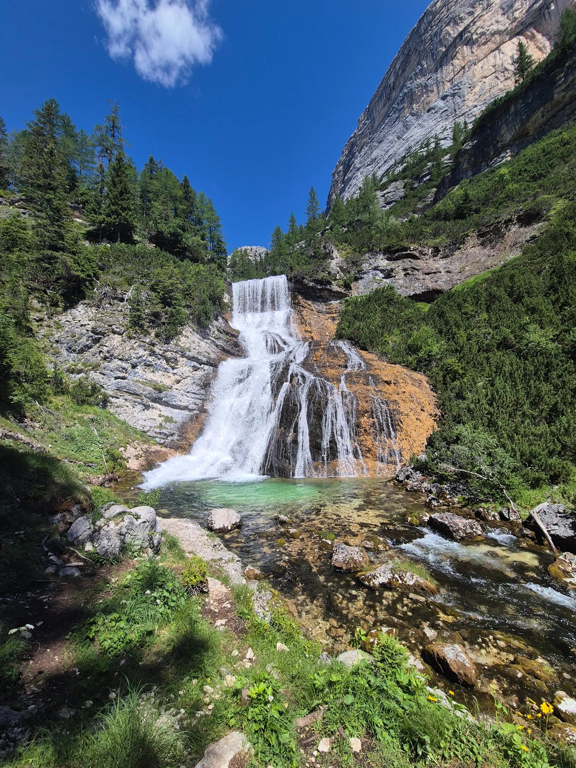
The descent is amazing: canyons with rivers running through them, and waterfalls stacked one after another. There's a shortcut that peels away from the main line and skips most of the rivers and falls. Don't take it. If you want the good stuff, stick close to the river (or just follow our GPX). I brought a swimming costume and jumped in the river a few times to cool off. Highly recommended.
The sting in the tail is the ascent right at the end. It's a rough one. We didn't come across anywhere to grab food or lunch on this stage, so pack enough for the day. We were pretty cooked by the time we rolled into Rifugio Malga Ra Stua.
Stage 4: Day 4 - Rifugio Rastua to Lago di Braies
- Distance
- 15
- Ascent
- 751
- High point
- 2337
- Difficulty
- 6
- Hours
- 6
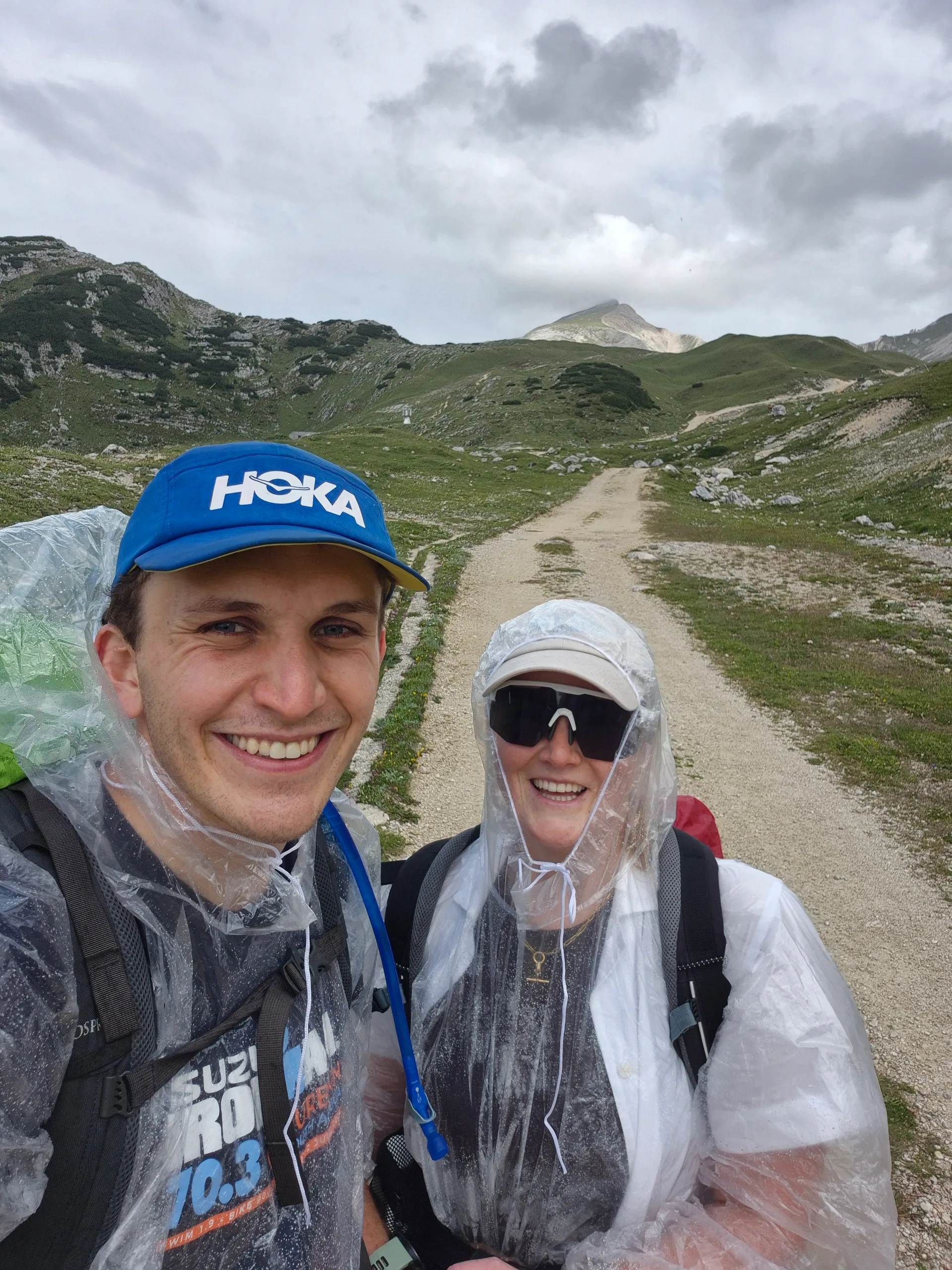
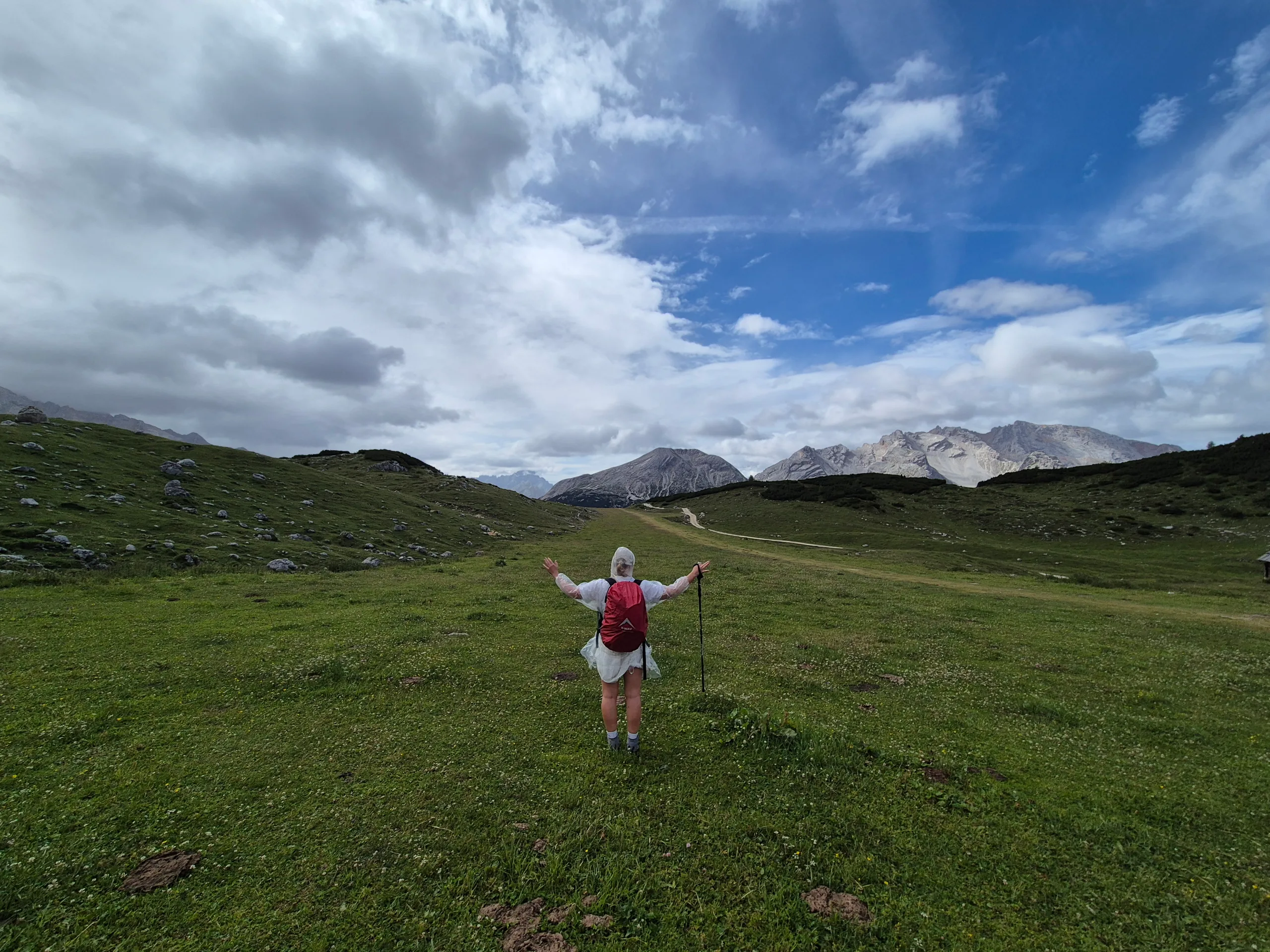
The final day of the loop, closing the circle back to where the car was parked at Lago di Braies. We looped back past the Fanes area again and stopped off for a coffee, which was a nice way to break it up. It's a pretty stretch, but the rain rolled in on us so for a while we just put our heads down and got it done.
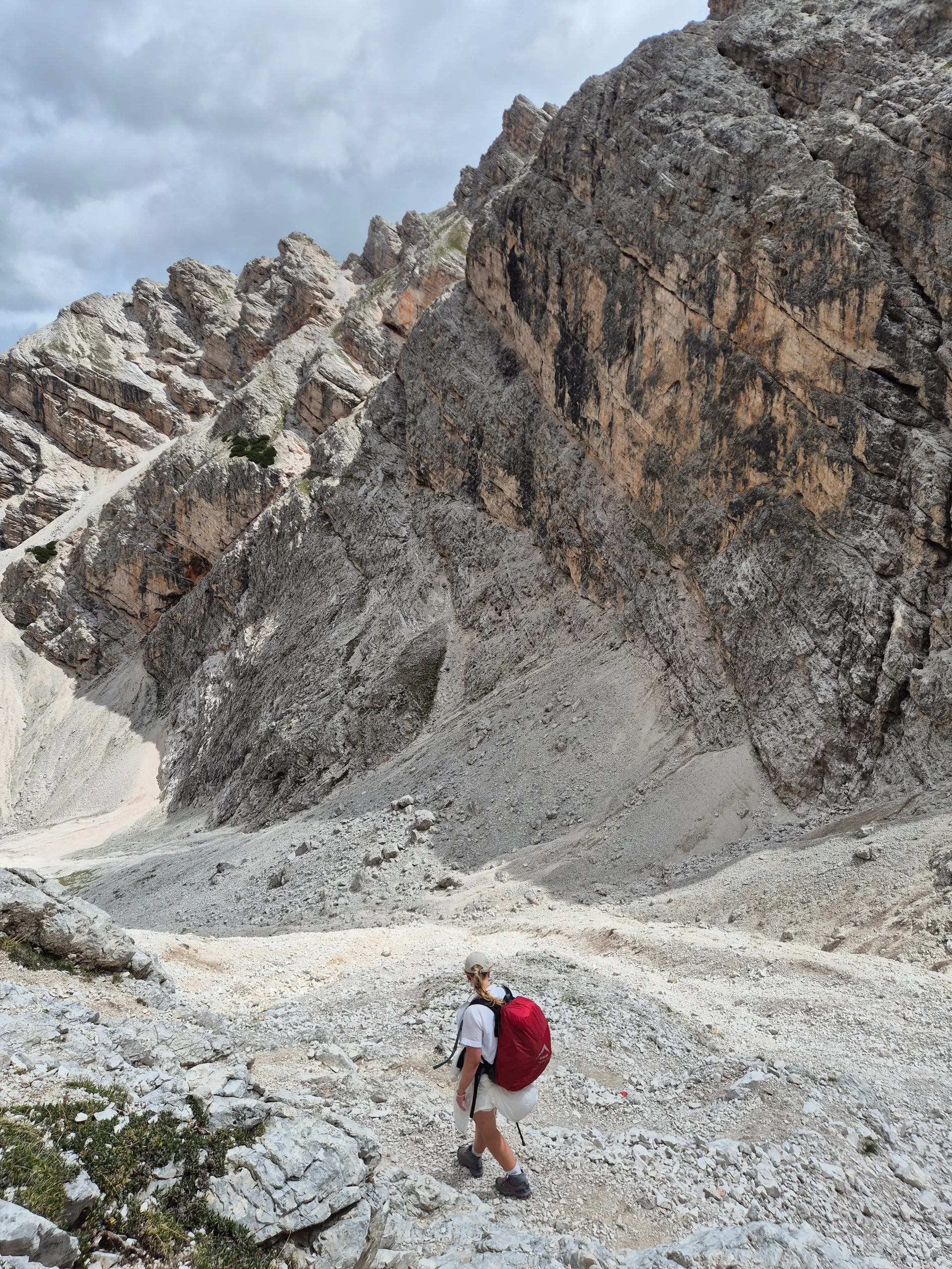
From there we came around the far side of Croda del Becco, the big peak that sits above Rifugio Biella. Day one we'd climbed up one flank of it; today we swung around the other side. As we were off the main trail I wasn't expecting much. However, that descent turned out to be one of the best surprises of the trip. Barely another hiker in sight. It does get a bit gnarly and slippery on the way down, so be careful. We walked straight into what can only be described as marmot land. A festival of them, everywhere you looked.
From there it's down through the forest and back out to Lago di Braies, and that's the loop closed.
Must-Know
- The valley road closes to cars in peak summer. In high season the road up the Pragser Tal (the Braies valley) shuts to private vehicles during the day. The window is roughly early July to mid September, somewhere around 9:00 to 9:30 AM until about 4:00 PM. The exact dates and hours shift every single season, so check the official sites (prags.bz, pragsparking.com, lagodibraies.com) before you go and don't blindly trust a blog's dates, this one included.
- Book your huts WAY in advance. We booked this trip in January for July, and some huts were already gone. The nicer ones go first, we tried for Rifugio Lagazuoi and it was completely full. If there's a hut you've got your heart set on, book the moment reservations open.
- Treat every number here as a starting point. Prices, dates, times and rules all change season to season. Confirm everything before you travel.
Food
- We packed a stash of hiking snacks for the loop: energy bars, fruit, and biscuits.
- You don't need to carry full meals. There's generally somewhere to stop for lunch on each stage, and dinner and breakfast come with your hut booking. You really just need something to eat in between.
- Rough daily intake while moving : about a packet of sweets, a couple of bananas, and an energy bar.
H2O
- Bring a bladder or hydration pack, otherwise you'll run dry. Between Cath and I we carried one 3 L bladder (full) plus a couple of water bottles, so close to 6 L total across the two of us.Some days we finished with a couple of litres to spare, other days we rolled in basically empty.
Gear
- Nothing hardcore needed. Hiking shoes are fine, I did the whole thing in trail running shoes.
- A regular hiking bag does the job. I just used my old 65L Osprey Rook. Cath had a smaller 30L hiking bag.
- Don't skip a warm layer. It can get properly chilly up high even in the middle of summer.
Weather Window
- Summer (roughly June to September) is the window for this loop, when the huts are open and the high ground is clear.
- Dolomite afternoons love a thunderstorm. Start early and aim to be off the exposed high sections by early afternoon.
- Even in July it can be cold up high in the mornings and evenings, which is exactly why the warm layer matters. Check the forecast (and the Braies webcam) the day before and pack for the conditions to swing.