Hiking
The Brux-to-Lux Trail
Contributed by Hugh Pope
Brussels to Luxembourg City, Belgium
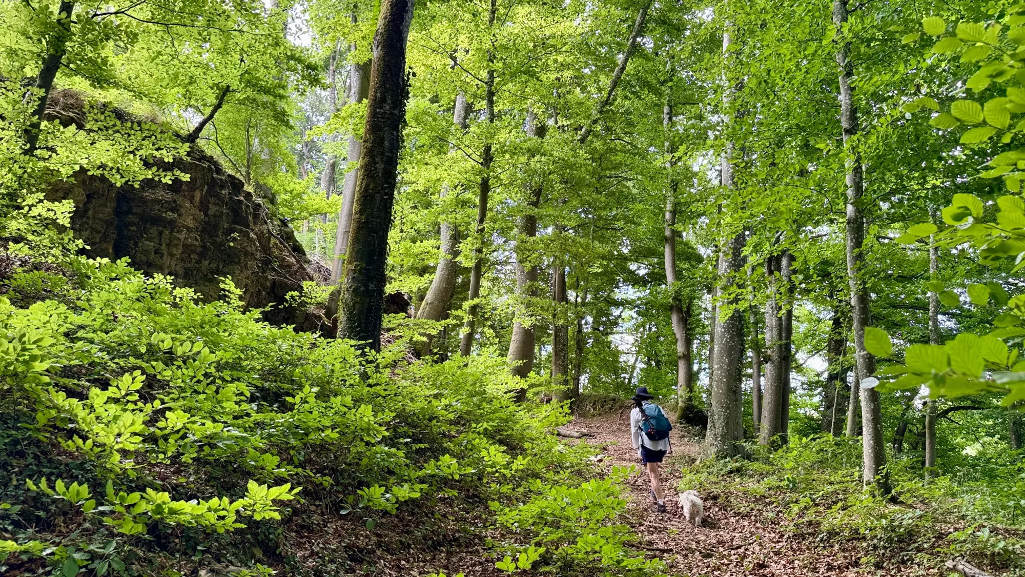
A first-person account of a 380km, 20-stage hike from Brussels to Luxembourg, done a day at a time over a year using Belgium's trains and buses, taking in battlefields, castles, forests and half-forgotten history along the way.
- Distance
- 380
- Stages
- 20
- Days
- 20
- Ascent
- 5530
- Descent
- 5250
- High point
- 560
- Unpaved
- 80
Also found on Substack
I'm not sure when the idea of walking from Brussels to Luxembourg fixed itself in my head. I know that once the paths started drawing me south of Brussels, I just kept going. If a day dawned with blue sky, or I heard a train whistle not far from my house in Schaerbeek, I felt a yearning for the countryside: muddy ways beside rippling streams, farm tracks by open fields, silent footpaths through forests.
For most of my first decade in Brussels I rarely felt the need to leave the city. I ran in the local park, walked where I needed to go, occasionally rode a Villo bike. The grey, decrepit highways stretching out to Belgium's borders were no advertisement for getting to know the country better. But in 2025 I had more time on my hands, and the flexibility to do whatever I wanted, whenever the fancy took me. I felt the need for a new sense of mission.
I didn't want short circuits, however pretty. A long walk that actually went somewhere might give me a goal to be getting on with, something to anticipate and later look back on. Belgium's excellent network of local trains and buses meant I could get a long way from Brussels and back in a day, and a chain of those day-long walks could add up to a real journey.
My destination took a while to settle on. Germany seemed too vast, the Netherlands too flat and familiar, and France is so big that even car journeys never seem to end. I wanted hill country, something like the walks my wife Jessica and I had stumbled on around Spa in the Ardennes. Luxembourg slowly grew on me: a small, half-forgotten principality that doesn't seem to be on the way to anywhere, which is rather what I liked about it. The railway line there, opened in the 1850s, has frequent stops, and once I was in Luxembourg the public transport, I was told, was free.
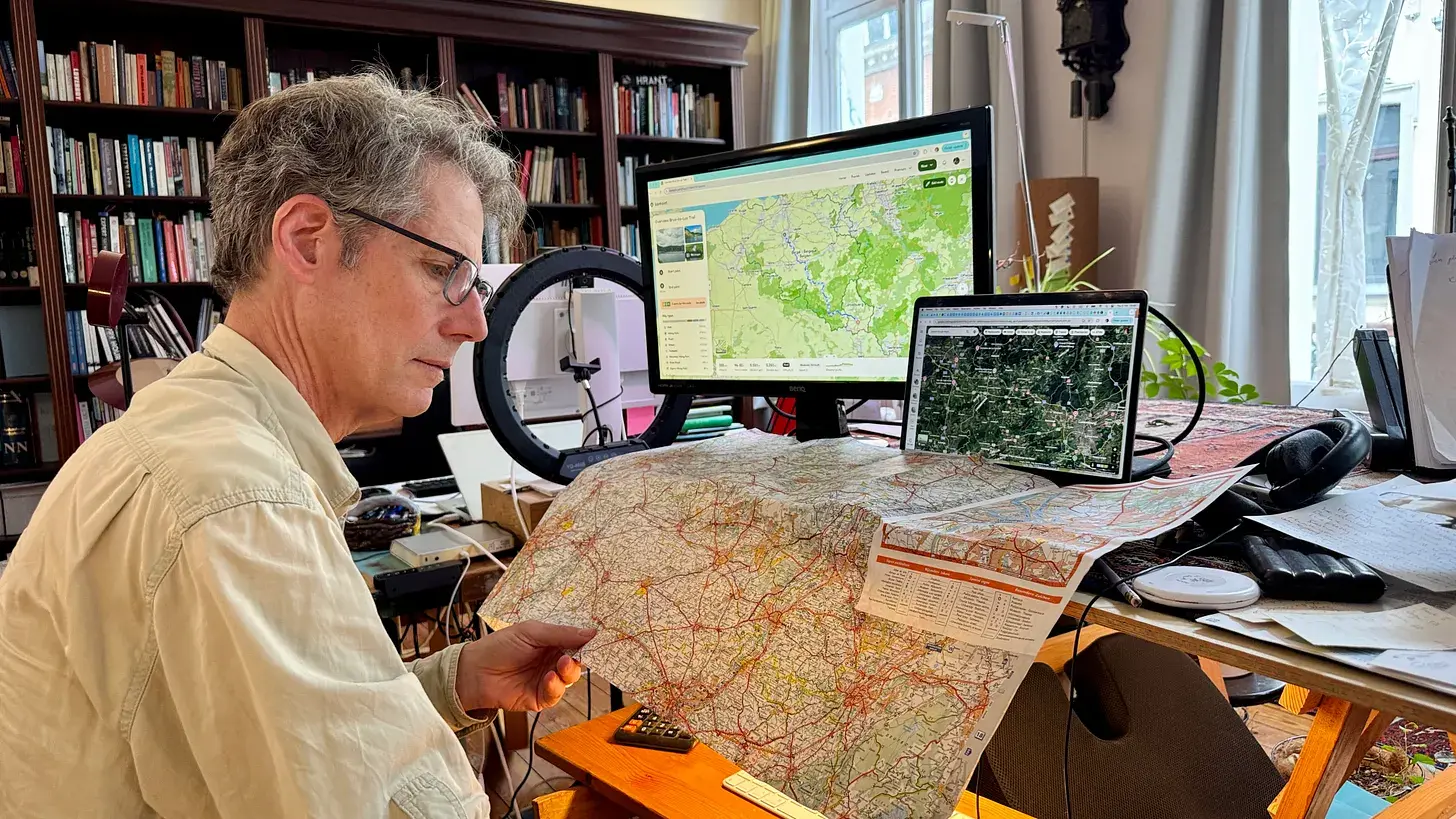
Planning twenty one-day stages that kept a good distance from traffic, avoided built-up areas, sought out natural beauty, stayed off tarmac, and still ended at a railway station I could get home from, took a lot of trial and error. I added the Komoot app to my phone and became addicted to it. The trail that resulted is 380 km long, prioritising landscape over speed - more than double the 180 km a crow would fly - avoiding asphalt nearly four-fifths of the way, climbing and descending some 5,500 metres in all.
My dog Einstein came with me on almost every stage, my wife Jessica on many of them. Together we tracked rivers like the Sambre, the Meuse, the Lesse and the Lomme, crossed the battlefields of Waterloo and the Battle of the Frontiers, dove into forests thick with hunting stands and hermitages, learned about Gallo-Roman graves and witch trials, until, twenty stages and a year later, we walked into Luxembourg city itself. What follows is the journey, one day-stage at a time.
Stage 1: Brussels to Boitsfort
- Distance
- 11.4
- Unpaved
- 82
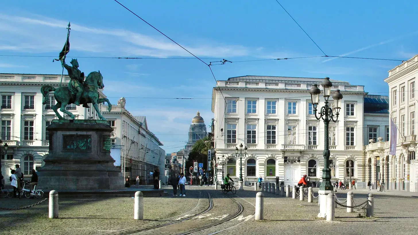
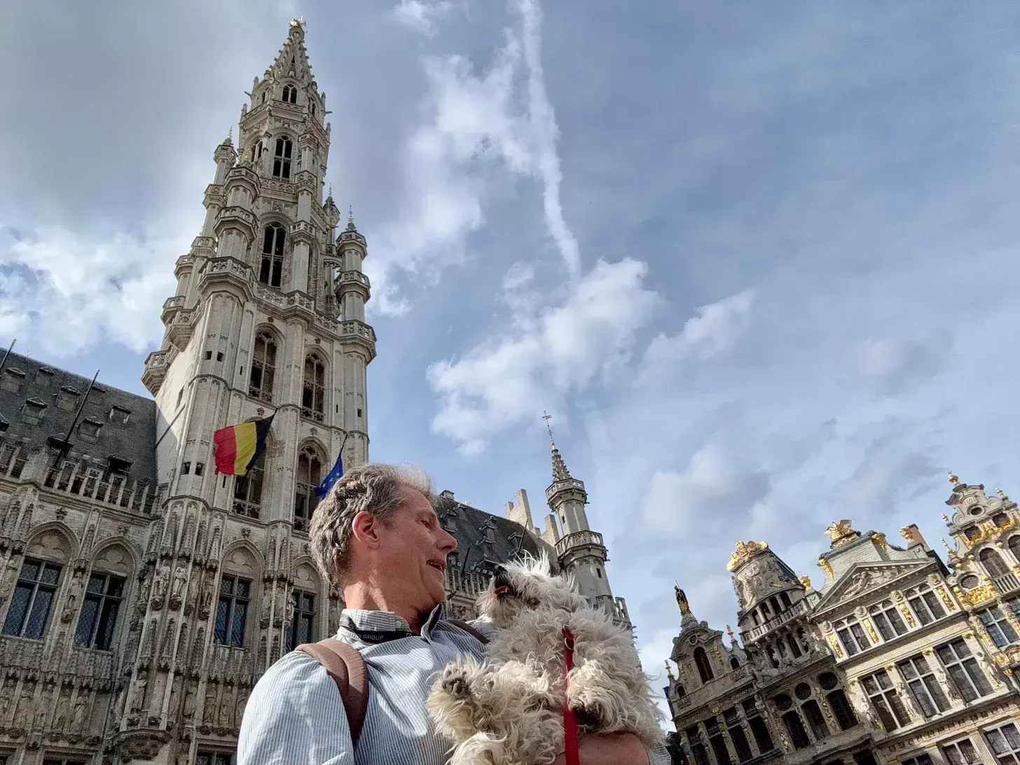
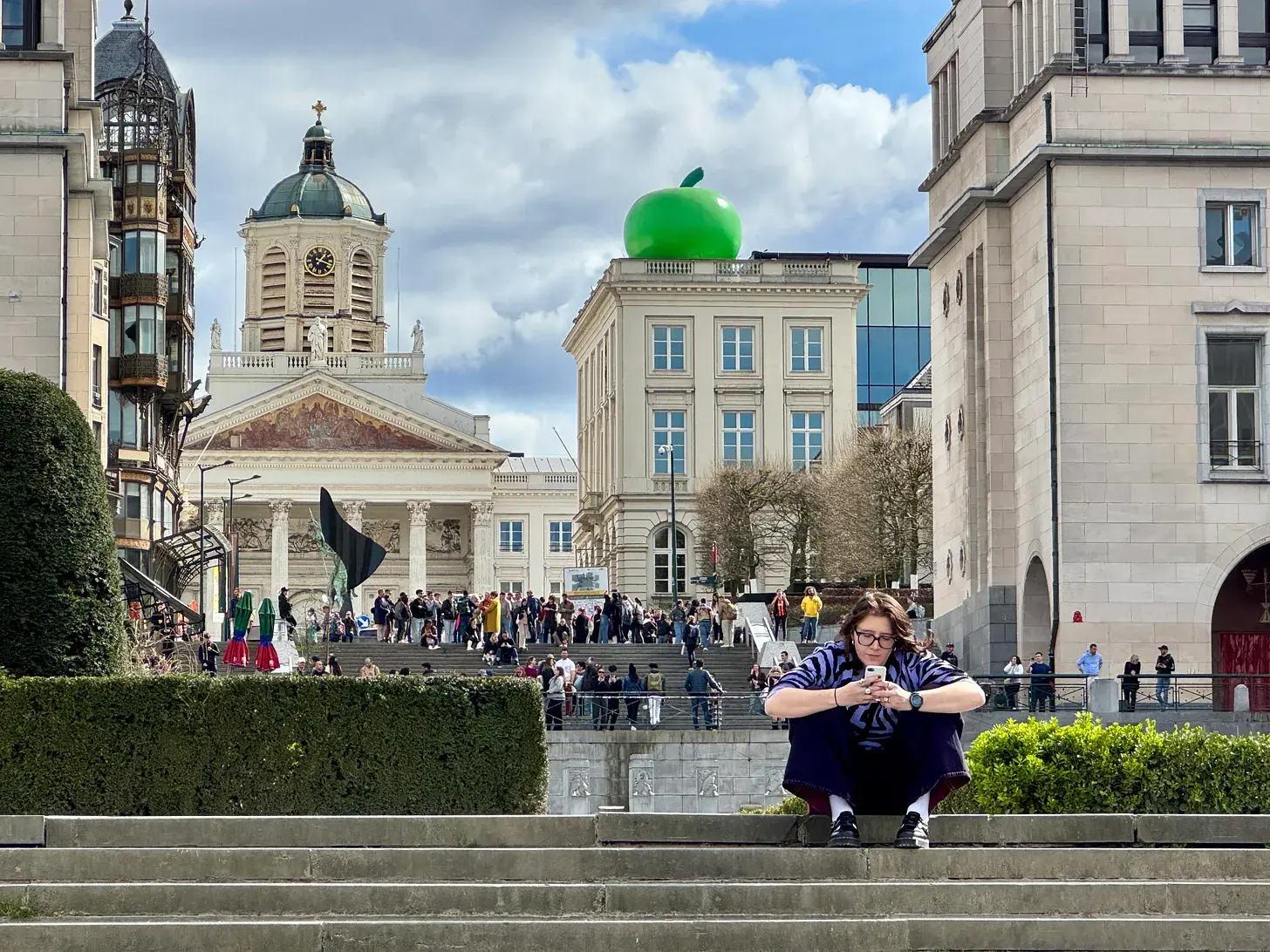
I took the first steps of the walk among the selfie-snappers of the Grand Place, my dog Einstein at my side, and headed up the steps of the Mont des Arts under a clear March sky. I paused at the Place Royale before the statue of Godfrey of Bouillon, the crusader knight whom Belgium's nineteenth-century nation-builders had adopted as an early national hero, and wondered what it said about being Belgian to have chosen him.
I skirted the Royal Palace and the Parc de Bruxelles, past King Leopold II's equestrian statue - a pigeon, as ever, perched on his head - and on through the cafés of St Boniface to the Étangs d'Ixelles and the grounds of the Abbaye de la Cambre. Near Avenue Louise I stopped at the bust of Jean de Selys-Longchamps, the Belgian pilot who flew his RAF Typhoon up this avenue at house height in 1943 to machine-gun the local Gestapo headquarters.
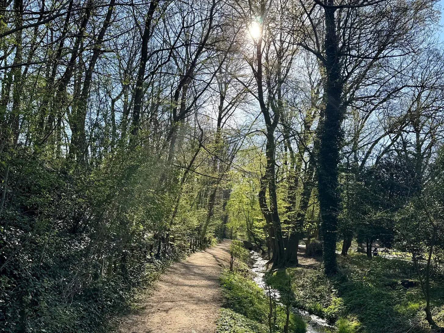
The route then carried me into the Bois de la Cambre and the Forêt de Soignes, past a wayside chapel and a troop of scouts, until I reached Boitsfort at the edge of the forest, twelve kilometres and, remarkably for a walk through a capital city, more than four-fifths of it on paths rather than roads.
Stage 2: Boitsfort to Groenendaal
- Distance
- 7.6
- Unpaved
- 93
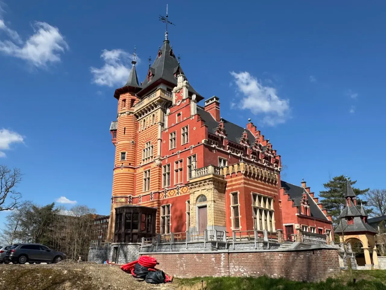
Before the day's walk proper, I went looking for the Château Charle-Albert, the finishing school my great-aunt Phyllis Garle had attended around 1906, and found it freshly restored behind wrought-iron gates. From Boitsfort I picked up the trail again at another mock-castle, the Solvay family's mansion by the station, and climbed through their old walled vegetable garden into the Forêt de Soignes.
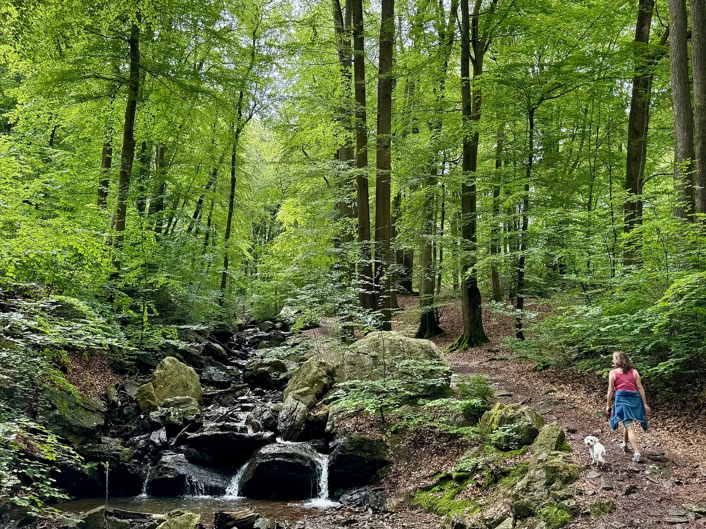
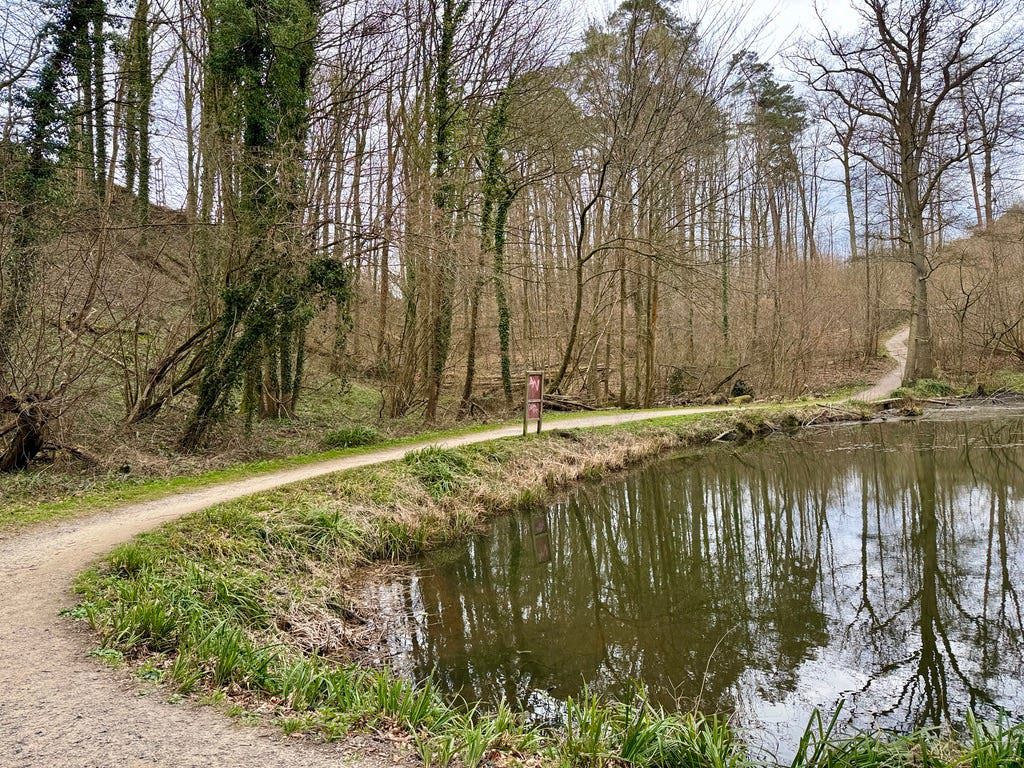
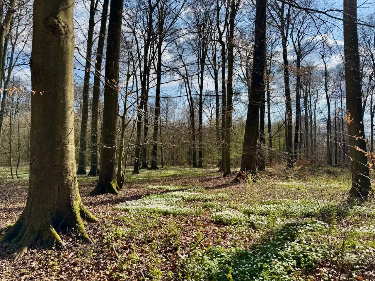
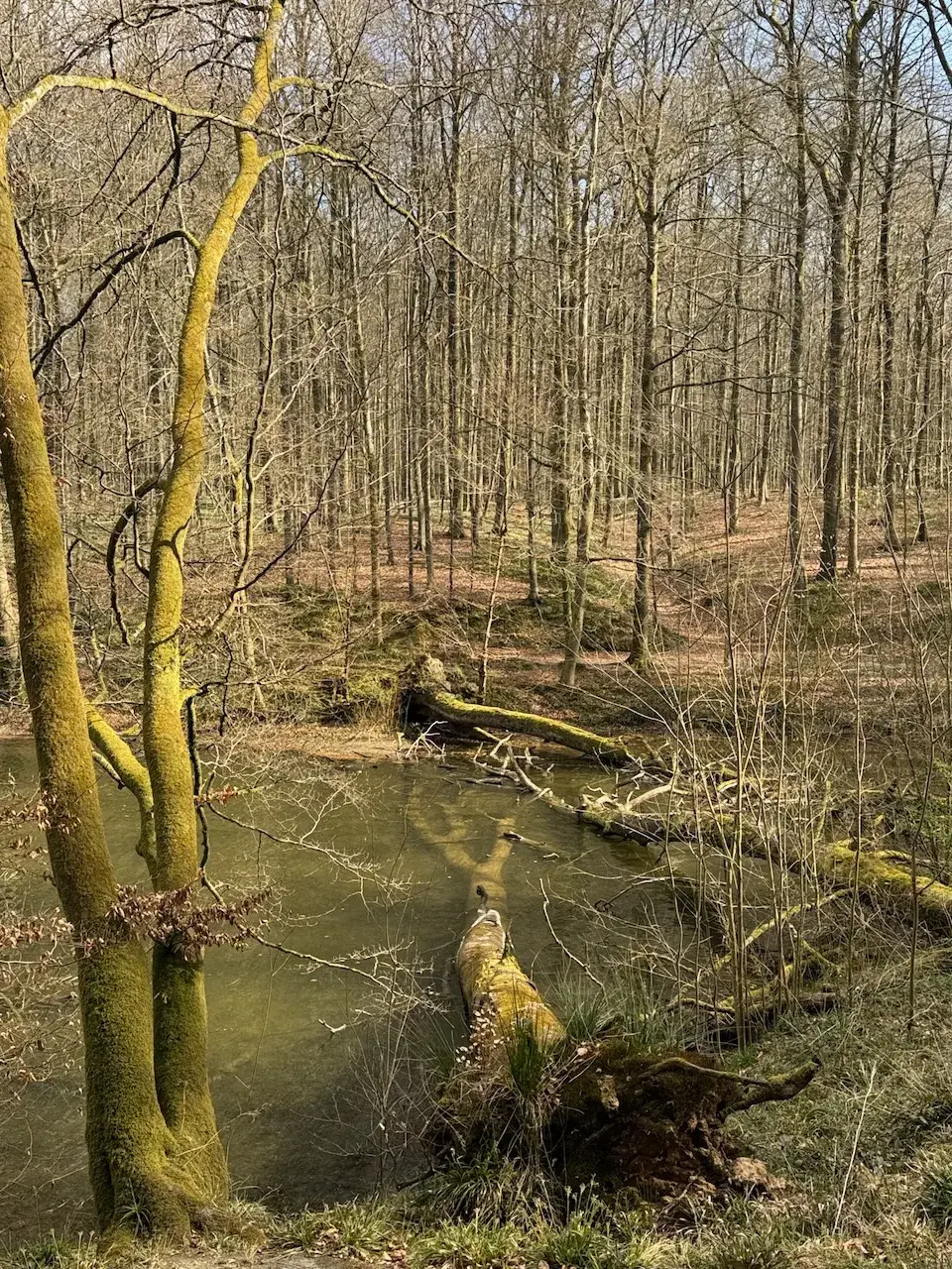
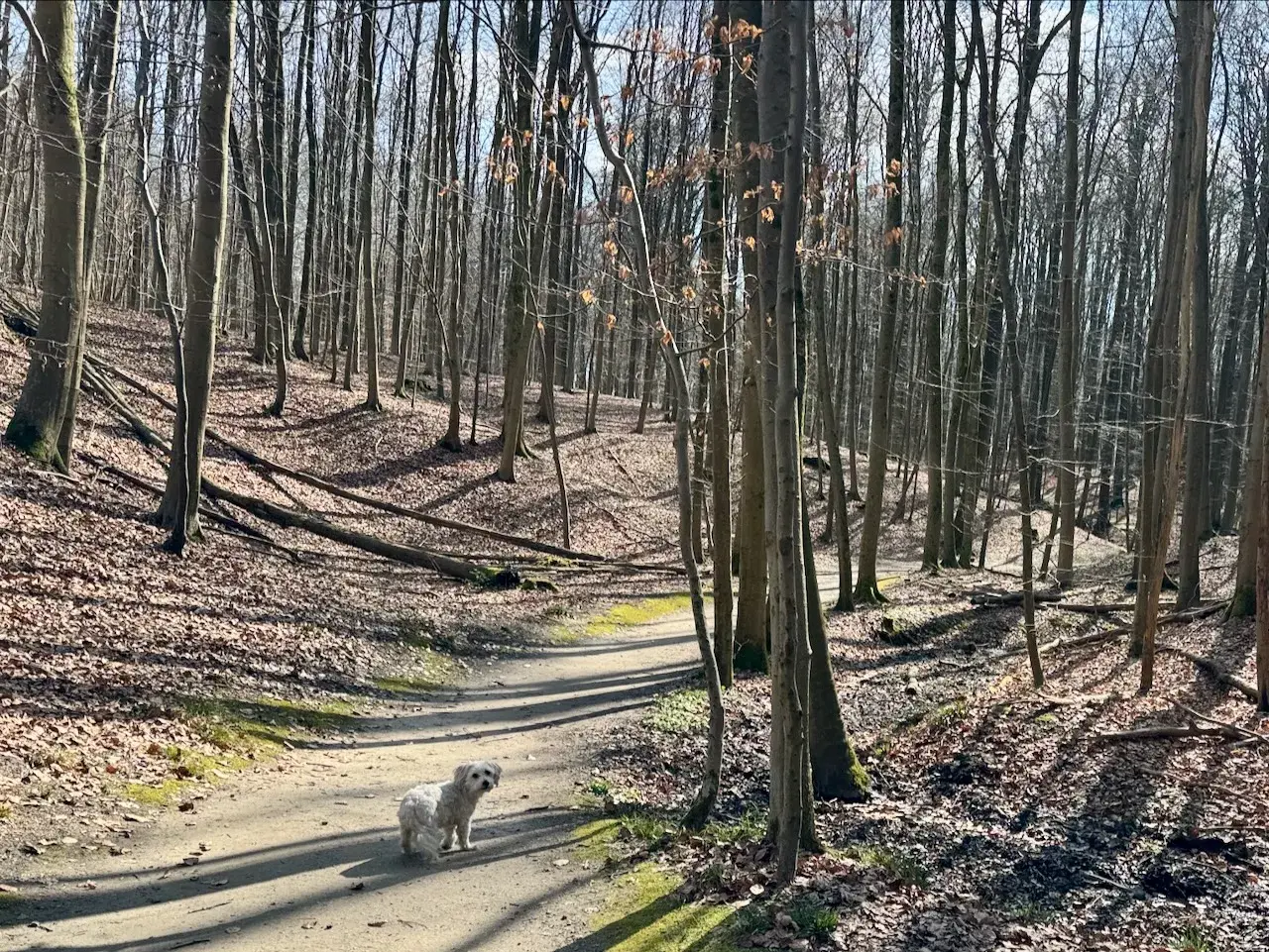
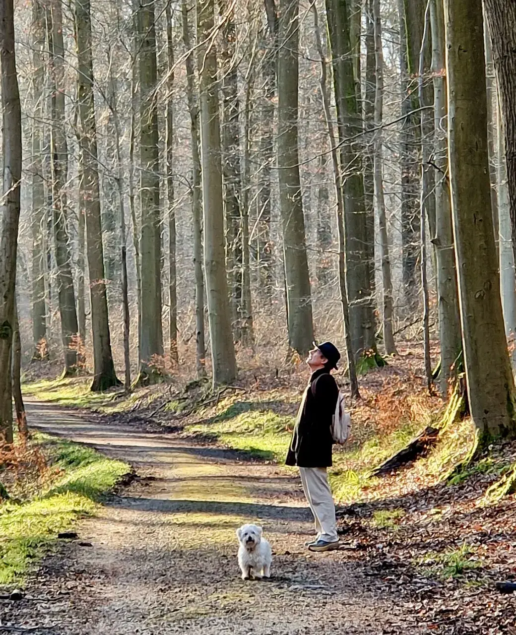
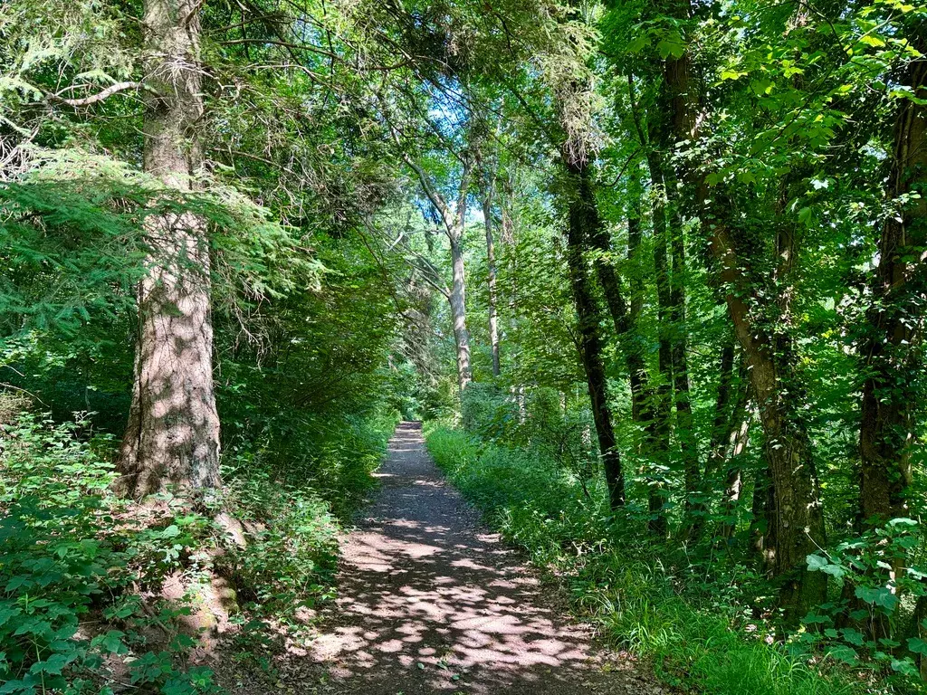
A stern voice from a bench reminded me that dogs must stay on the lead, so for a kilometre Einstein and I walked more soberly than we'd have liked, past lakes fringed with new leaves. This short stage of just 7.5km runs mostly through ancient beech forest, a UN World Heritage site straddling Brussels, Flanders and Wallonia, and thick with wood anemones under trees whose beech ancestors first recolonised this land after the last ice age.
Walking here, I kept thinking of my great-aunt, who trained as a nurse and then a driver in this same country during the First World War, and of the many family threads - a hospital in Kent, a grandmother from Amsterdam, cousins buried in Flanders' fields - that already tied me to this corner of Europe before I ever thought of walking through it.
Stage 3: Groenendaal to La Hulpe
- Distance
- 12.5
- Unpaved
- 78
This gentle stage added an extra loop down through woods to the bed of the Ijse river before I turned back to Groenendaal and continued south along the dead-straight, cobbled Steenbruggendreef, sunlight flashing off stones like those my seafaring uncle once shipped as ballast on his barge.
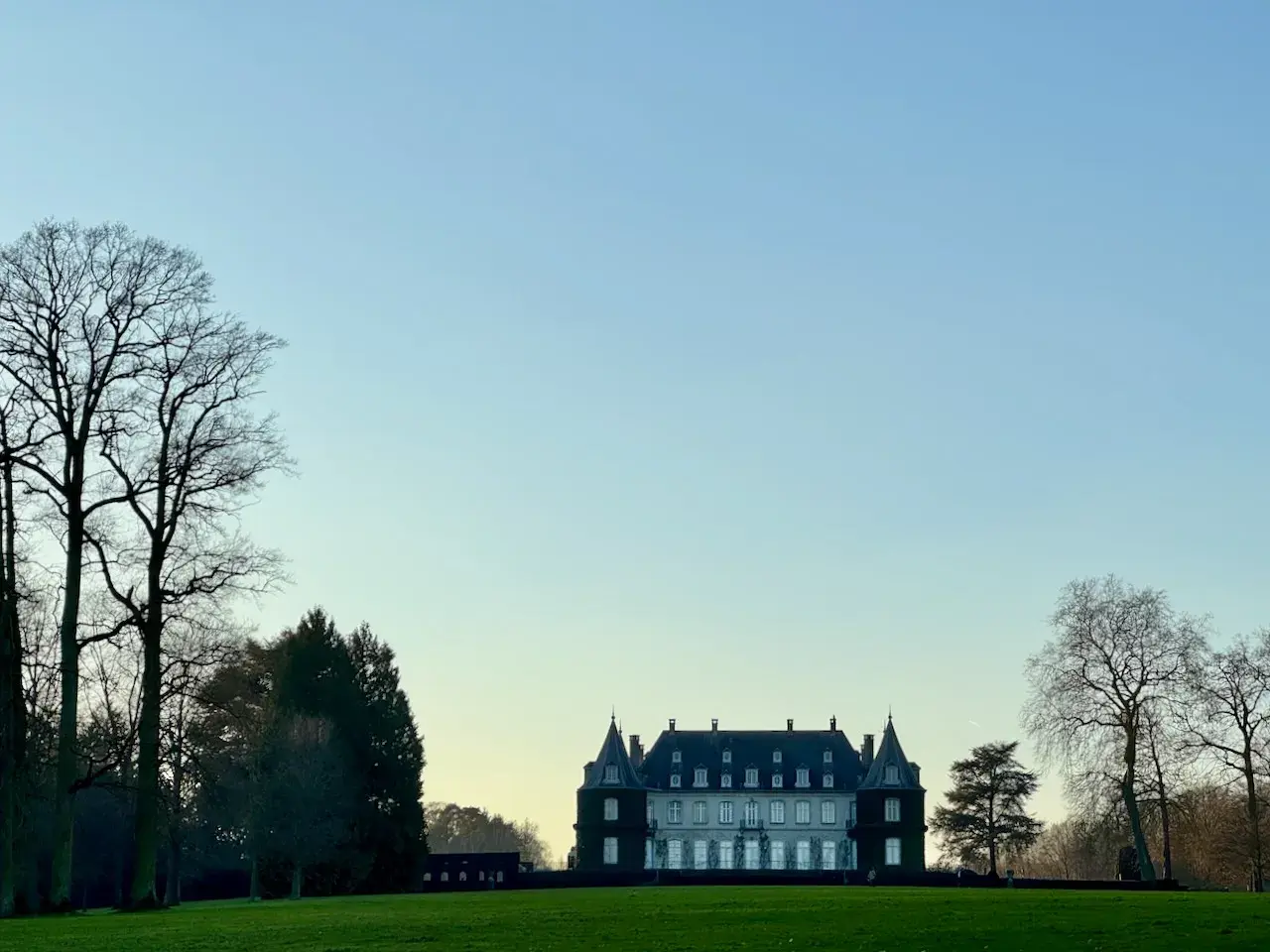
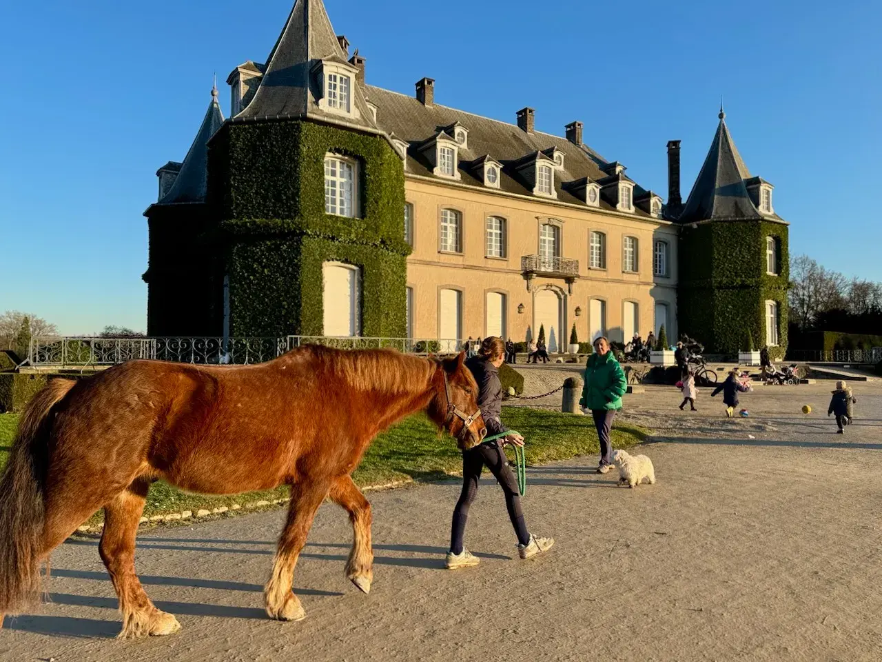
Crossing from Flanders into Wallonia, I entered the Domaine Solvay, once part of Ernest Solvay's summer estate. I passed the strange 36-metre obelisk his grandson built to catch the dawn light, and the museum of sculptor Jean-Michel Folon, before reaching the elegant Château de la Hulpe itself, said locally to have partly inspired Hergé's Marlinspike Hall.
We finished with a coffee at the Café Ernest, under a photograph of the fifth Solvay physics conference of 1927, at which Albert Einstein himself had argued quantum theory with colleagues, seventeen of whom would go on to win Nobel prizes. Our own dog Einstein, named for his early skill at escaping his puppy pen, showed no interest in the connection and went straight to sleep on Jessica's lap.
Stage 4: La Hulpe to Bousval
- Distance
- 18.3
- Unpaved
- 60
This stage skirted the eastern edge of the Waterloo battlefield, a place that had lived in my head since childhood through my father's library and a forgotten 1816 book of watercolours by the English artist Robert Hills, who toured the battlefield a month after the fighting and described a Brussels turned into one vast hospital, and fields still littered with the dead.
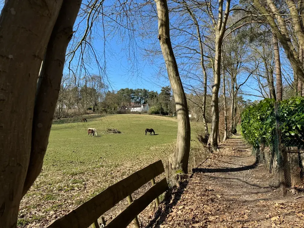
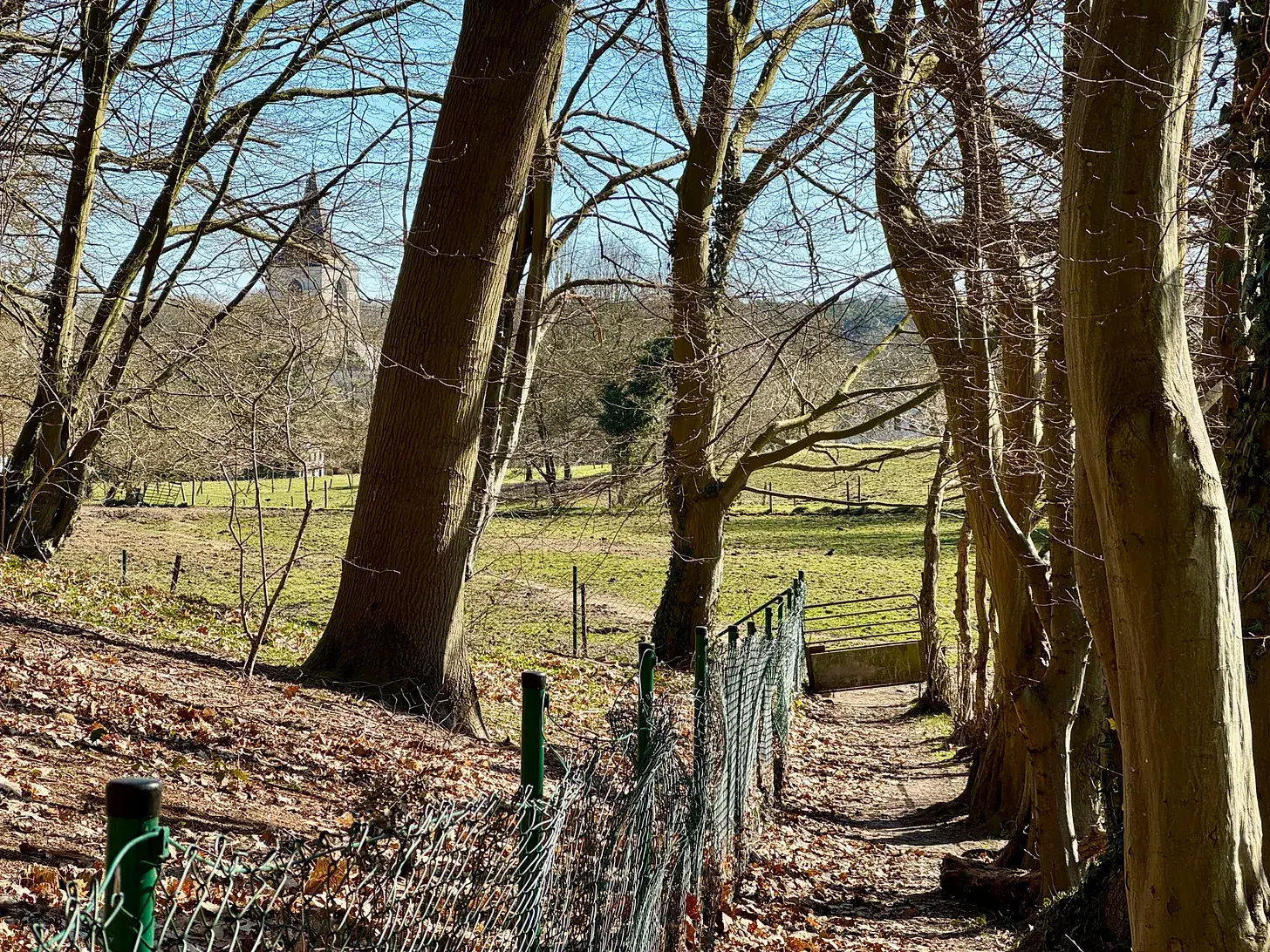
I chose paths rather than the museum route: earthen tracks between meadows, a Belgian church steeple over Ohain, and down into the marshy valley of the Lasne, which Prussian troops had struggled through in the pouring rain of 18 June 1815 to reach Wellington in time. In a copse near Paris Wood I found a column to Colonel Wilhelm, Graf von Schwerin, likely the first Prussian officer killed at Waterloo, cut down by a shell as his Silesian Hussars approached the fighting.
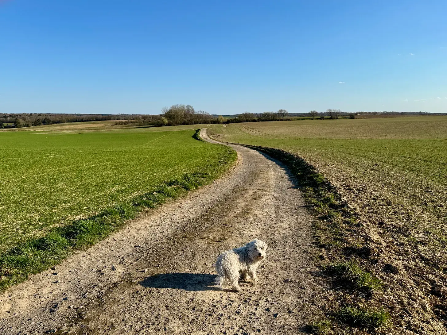
Through Paris Wood itself, from where the Prussians launched the flank attack that undid Napoleon's day, and on past the cobbled village of Couture-Saint-Germain and its old hollow lanes, Einstein and I ran the last stretch to catch our bus at Bousval with minutes to spare.
Stage 5: Bousval to Ronce (Gembloux)
- Distance
- 18.9
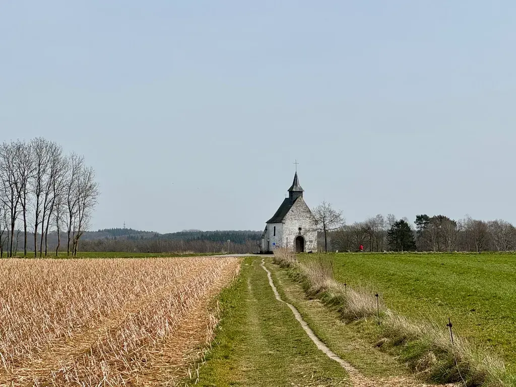
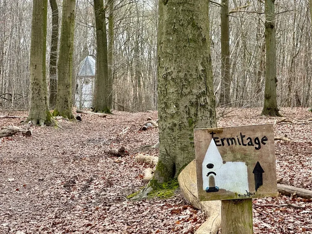
From the bus stop at Bousval, past a spring dedicated to St Bartholemy and a chapel to St Barbe, I began a day that turned into an unplanned history of Belgian religion and beer. A hand-written note taped to the door of a seventeenth-century chapel, protesting clerical child abuse, sat awkwardly against its dedication by a soldier grateful for surviving thirty years of war.
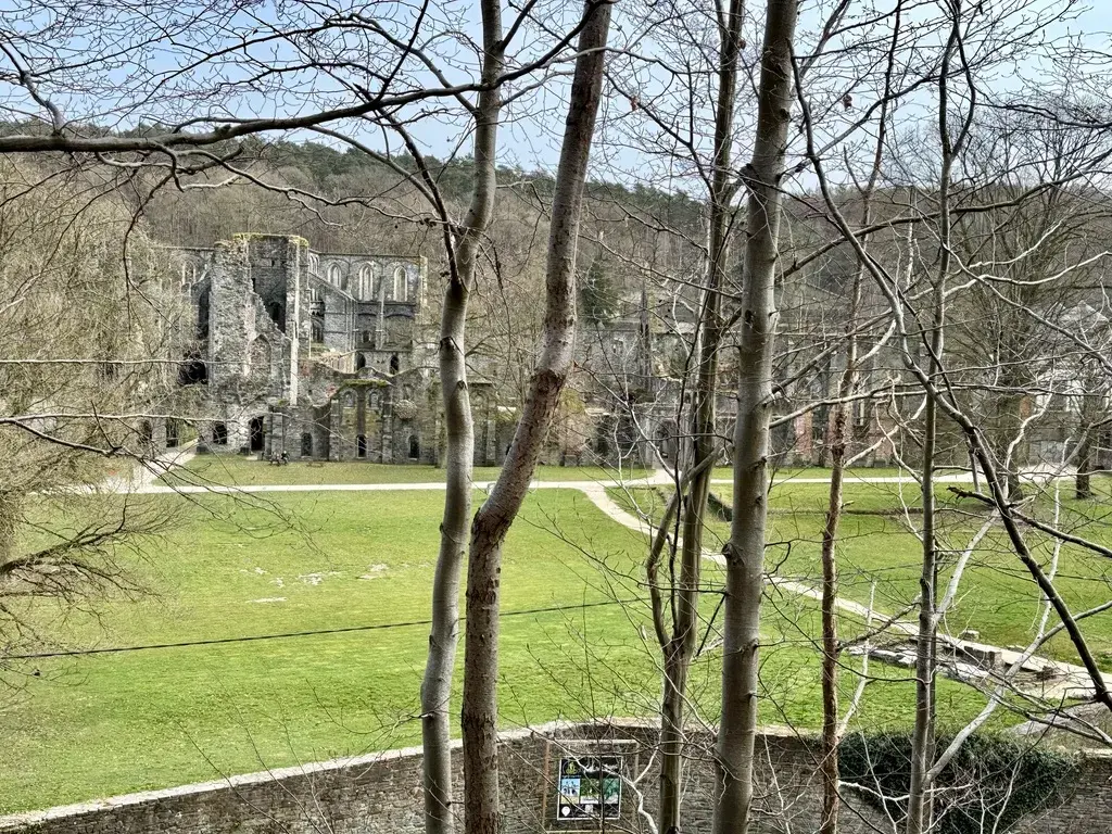
The path led me down through the ruins of Villers Abbey, once home to four hundred monks and 10,000 hectares of land, past its old brewery, and on past a Kongolo missionary memorial and a roadside hermitage. Beyond Gentinnes the country opened into vast fields under wind turbines and the flight path into Charleroi airport, and I joined the Route du Malt, a trail promoting Belgian-grown barley in a country that mostly imports it.
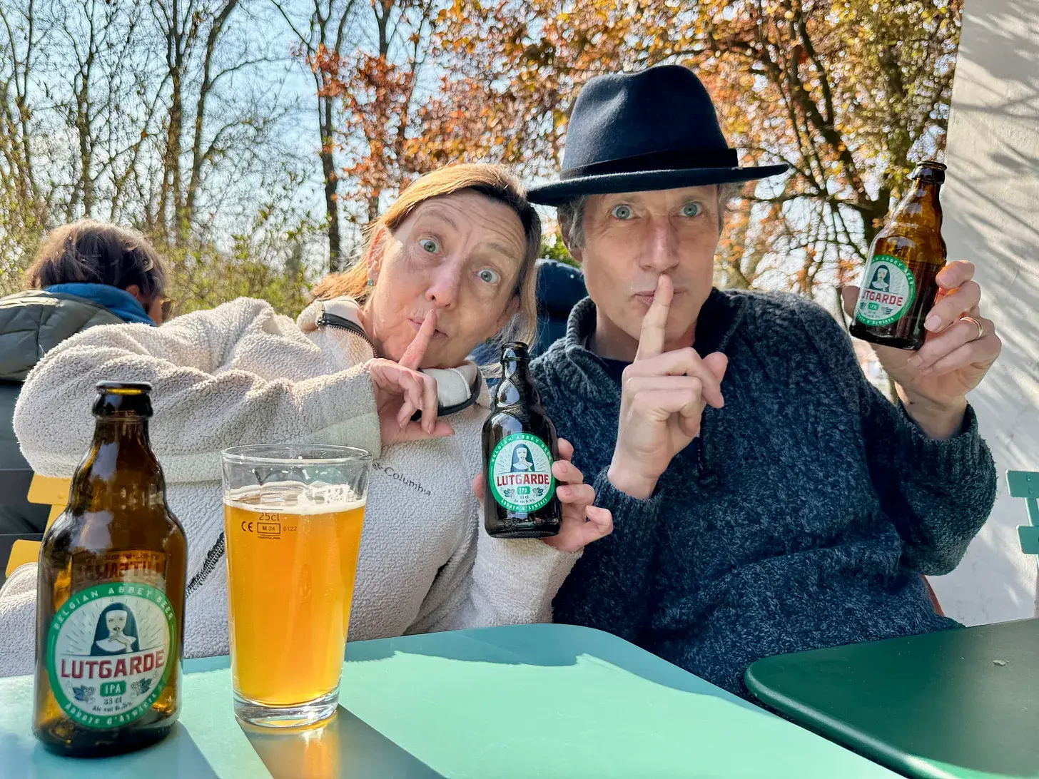
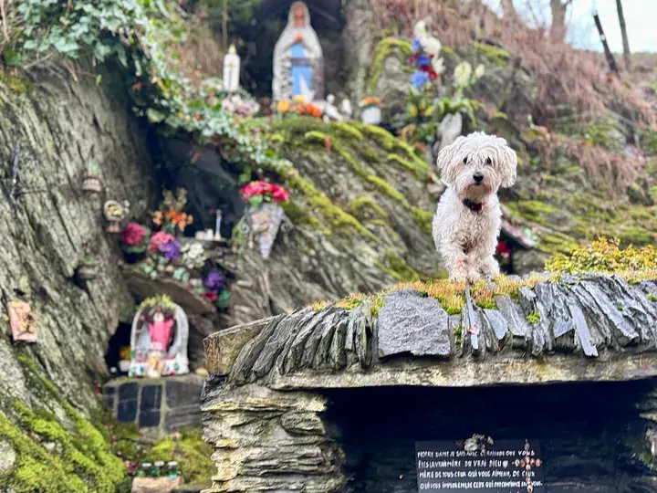
I passed the abbey brewery at Aywiers and reflected on how thoroughly religion and brewing are entangled in Belgium, before crossing the old Roman road, the Via Belgica, and finding a shrine to St Eloi, patron of goldsmiths, farriers and, apparently, computer scientists, on the way to my bus at Ronce.
Stage 6: Ronce (Gembloux) to Franière
- Distance
- 20
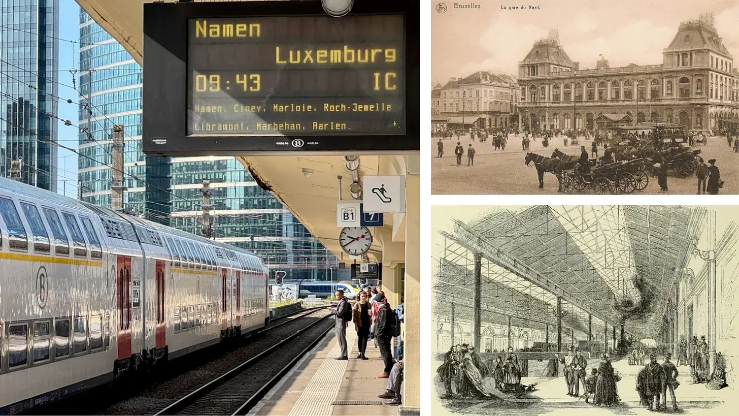
Waiting on the platform in Brussels amid a national strike against a government not yet in office, I reflected on the paradox that the trains kept running anyway. My route from Ronce, once I'd escaped a wrongly-timed bus, took me across a diagonal right of way through vast open fields, and past a chateau glimpsed above a railway spur on the way to the village of Onoz.
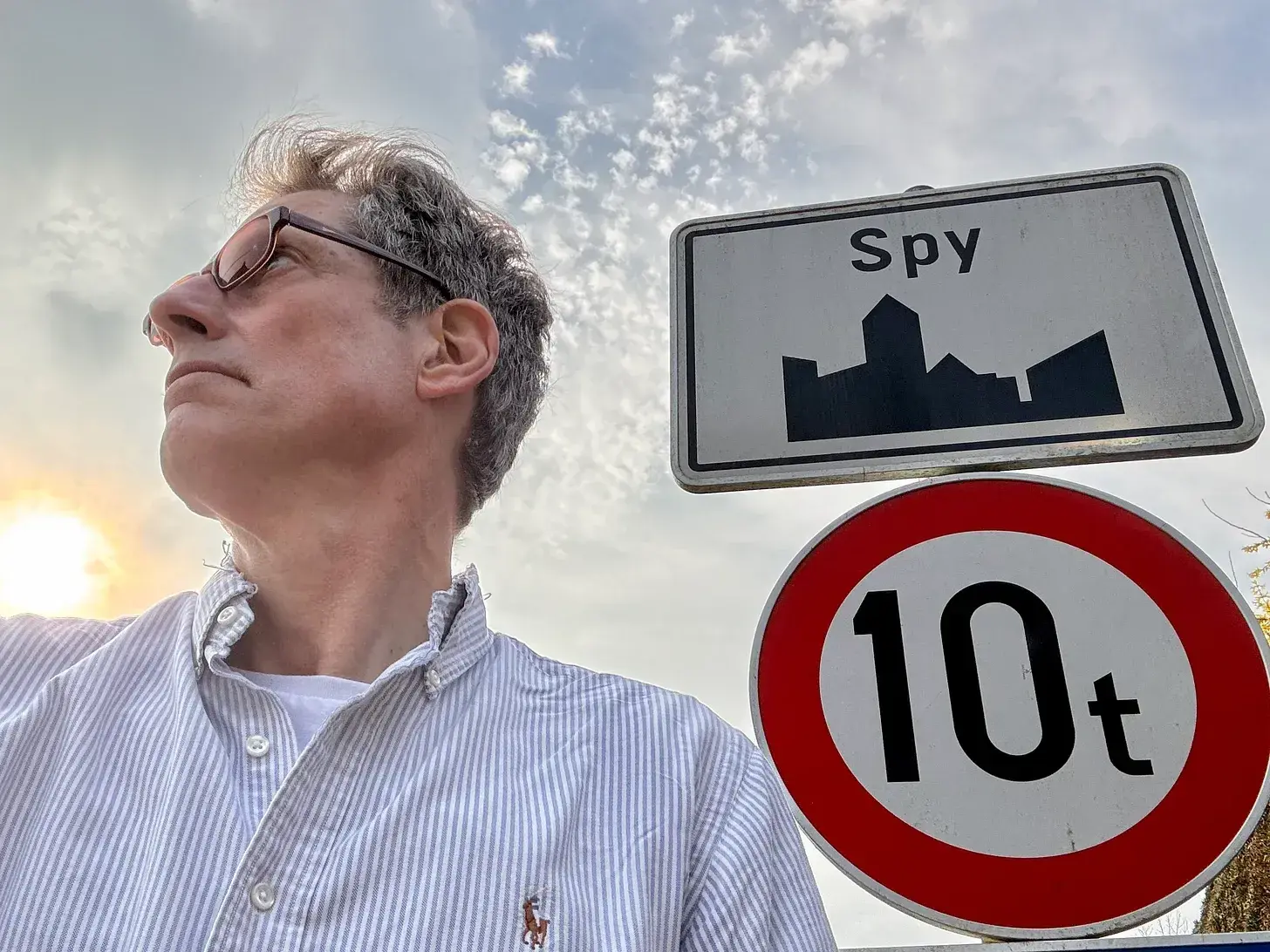
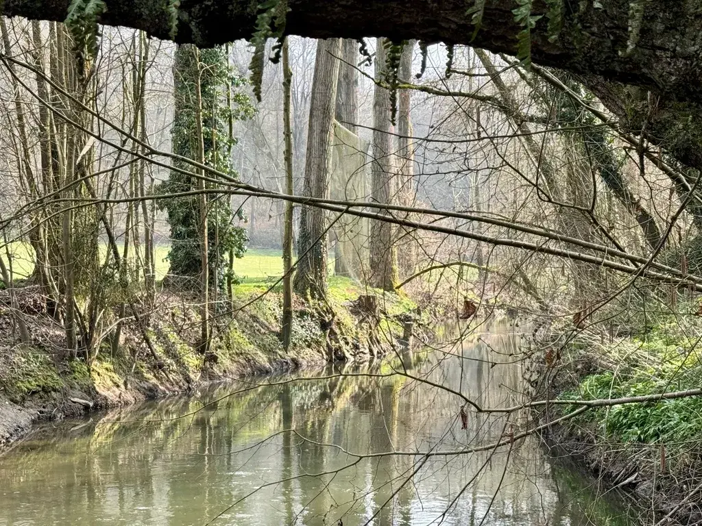
I passed under the E42 motorway, through villages with names like Tongrinnes and Marbisoux, and made a small pilgrimage of my own to the entrance of a village called Spy for a photograph. Streams multiplied as the country began to hint at the Ardennes to come, and by the time I reached the wide river Sambre, its rushing sound was one I knew I'd be hearing again and again over the stages ahead.
I crossed to Franière station just as a delayed train pulled in, catching my first proper glimpse from the carriage window of Namur, the grey Walloon capital I'd be walking into next.
Stage 7: Franière to Namur
- Distance
- 15.6
- Unpaved
- 74
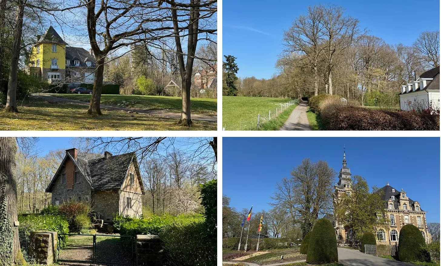
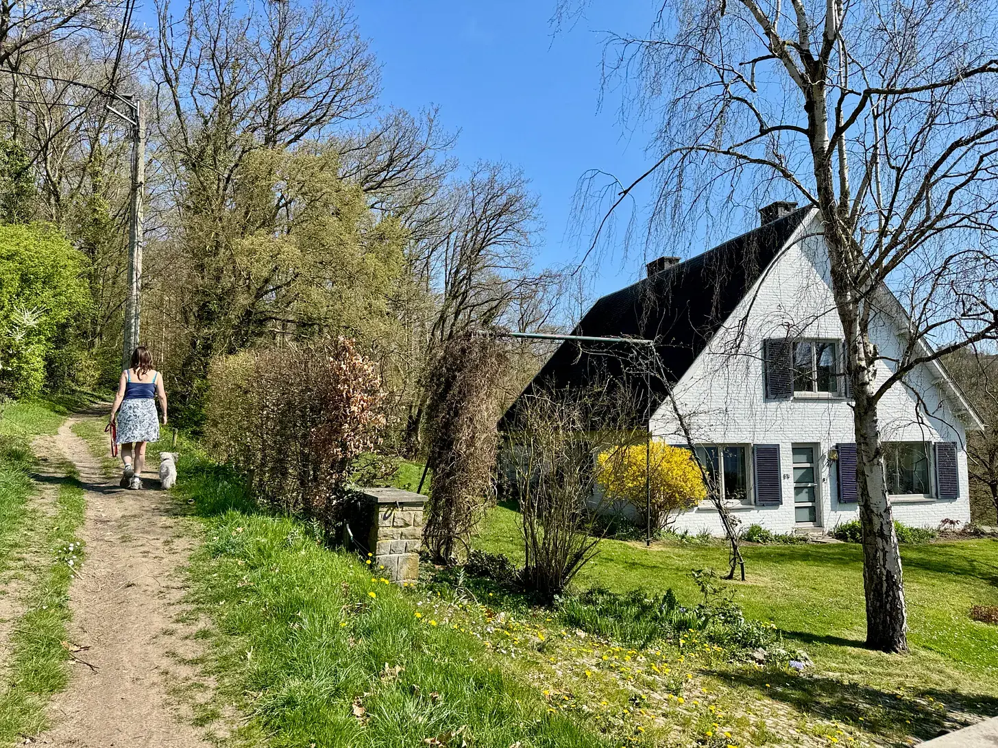
Leaving Franière, my wife Jessica and I found an earthen path along the Sambre so full of birdsong that I struggled to record thirty seconds of it without a train, truck or barge intruding somewhere in the background - a reminder that this valley has drawn industry for centuries. Floreffe Abbey's onion domes rose above the far bank, and we picnicked on the hillside above the village looking back at it.
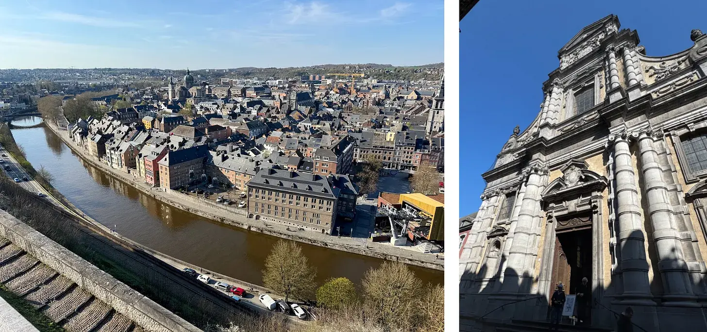
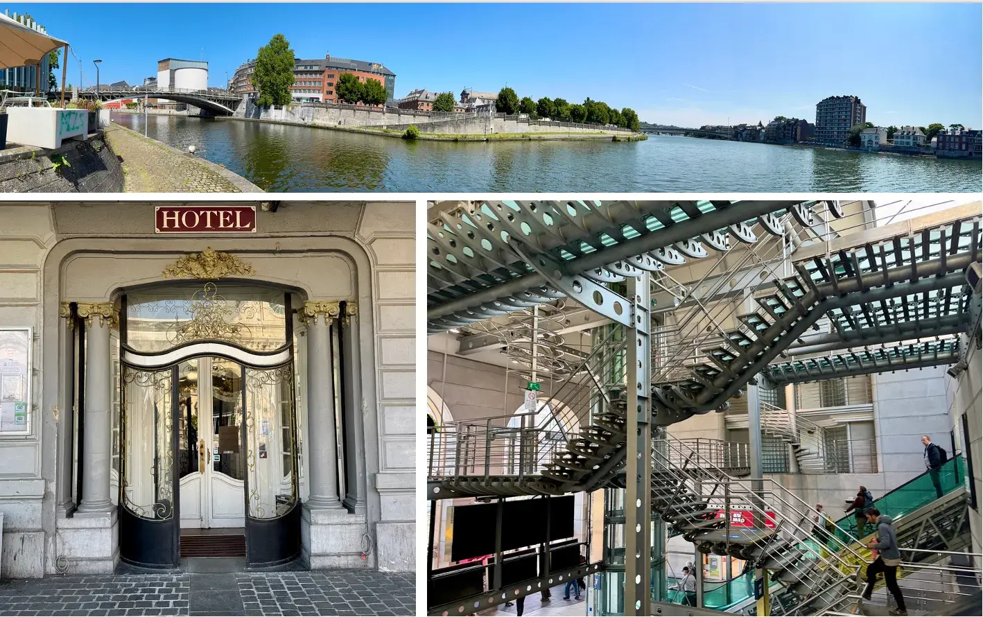
A long ridge walk through the Bois de la Basse Marlagne, an ancient wood a Dark Ages chronicler once called an abode of demons, took us past mossy cairns, a ruined 1892 fort, and a concrete bunker where I startled, and was startled by, a man living rough inside it. Emerging into Namur's millionaire mile of grand villas, we descended past the city's ancient citadel - once dismissed by Napoleon as an ant-heap of tunnels - to the confluence of the Sambre and Meuse, and a first taste of the local Blanche de Namur beer by the quayside.
Stage 8: Namur to Godinne
- Distance
- 23.4
- Unpaved
- 80
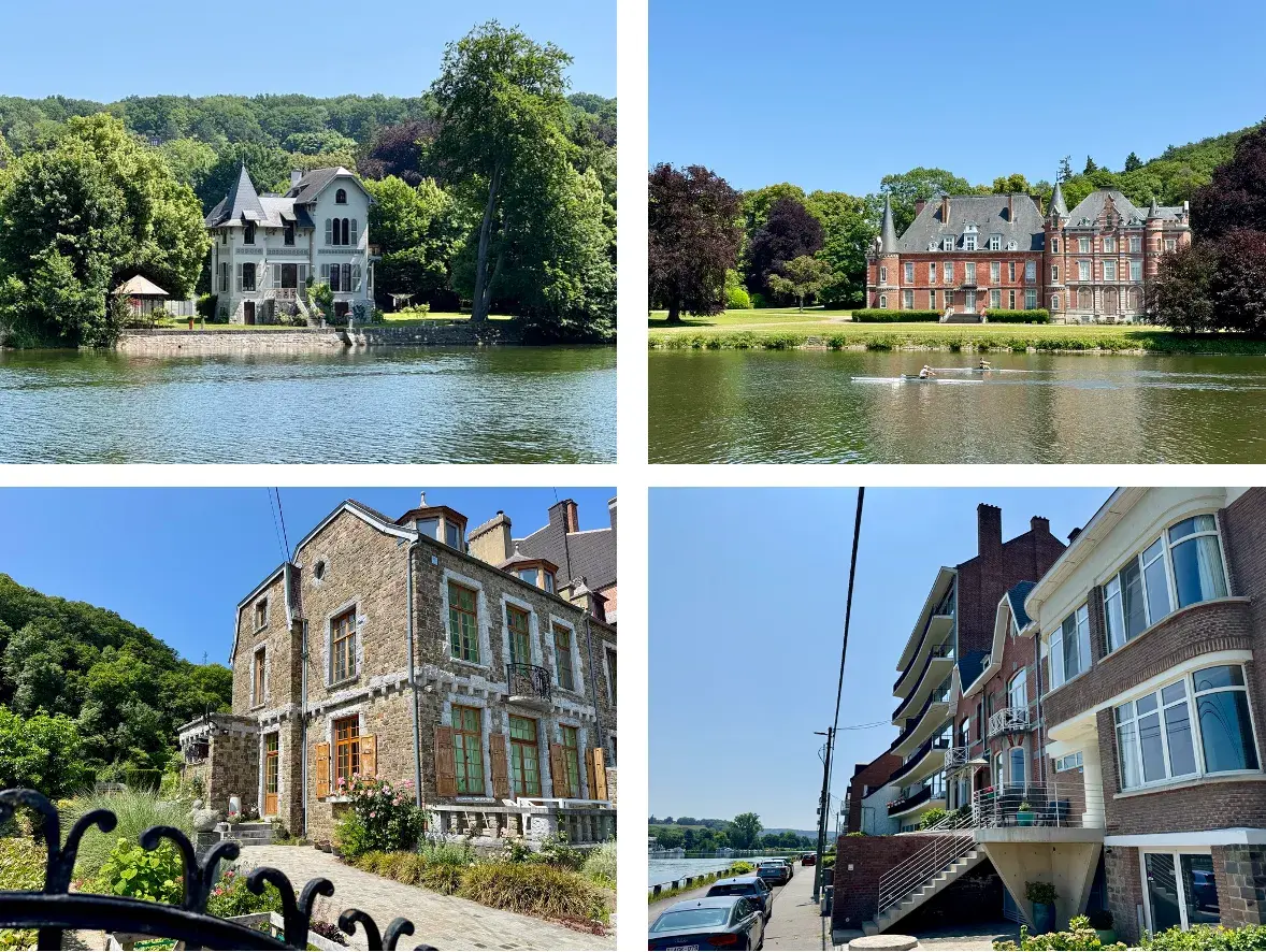
I'd been looking forward to the Meuse for a long time, and Namur made an easy start. I detoured up through the citadel's forested paths and millionaire-mile houses before dropping back to the riverbank, glad I'd made the diversion once I found the tarmac towpath itself busy with cyclists and traffic noise, more like an extension of city life than the wild river I'd imagined.
Still, the architecture along the way, in the local mix of brick and Belgian bluestone, was consistently handsome, and I lunched by the wide Isle of Dave, Belgium's largest island, watching barges and a water-skier pass. A loop of woodland behind Profondeville let me escape the road for a while, missing the philosophical way of engraved plaques along the official path but gaining a tunnel of trees and a school courtyard instead, before a long descent brought me down to the river again and the station at Godinne.
Stage 9: Godinne to Dinant
- Distance
- 20.7
- Unpaved
- 67
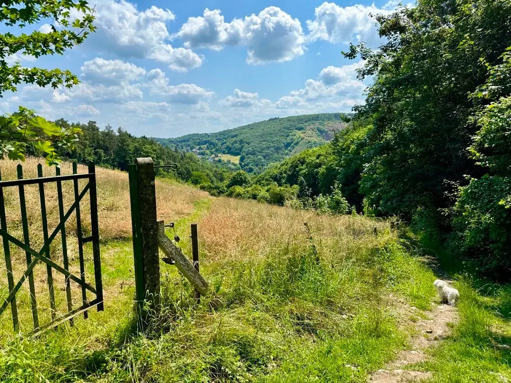
This stage turned out to be one of the most eventful of the whole trail. Climbing out of Godinne, I passed close by the entrance to the Yvoir Tunnel, remembered locally as the Hitler Tunnel after Adolf Hitler's train was meant to shelter there in October 1940 (his train couldn't manage the gradient, so he stayed the night in the station hotel instead), and Hermann Göring, who did use it, and set up an improvised palace nearby stripped from local houses.
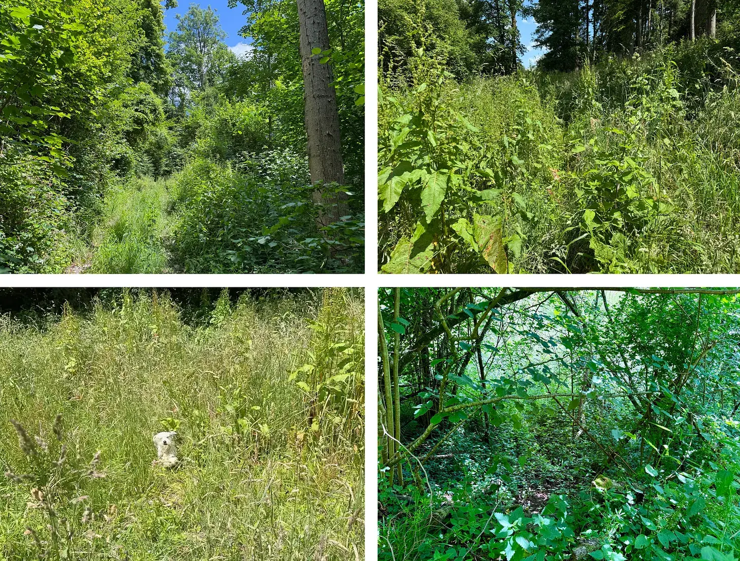
After a climb through stone country past a working quarry, and the fortified village of Evrehailles, I lost my way badly trying to follow a mapped path that turned out to run through nettles, private woodland and, eventually, land marked propriété privée three times over, adding several trespassing kilometres before I regained the official grand randonnée route.
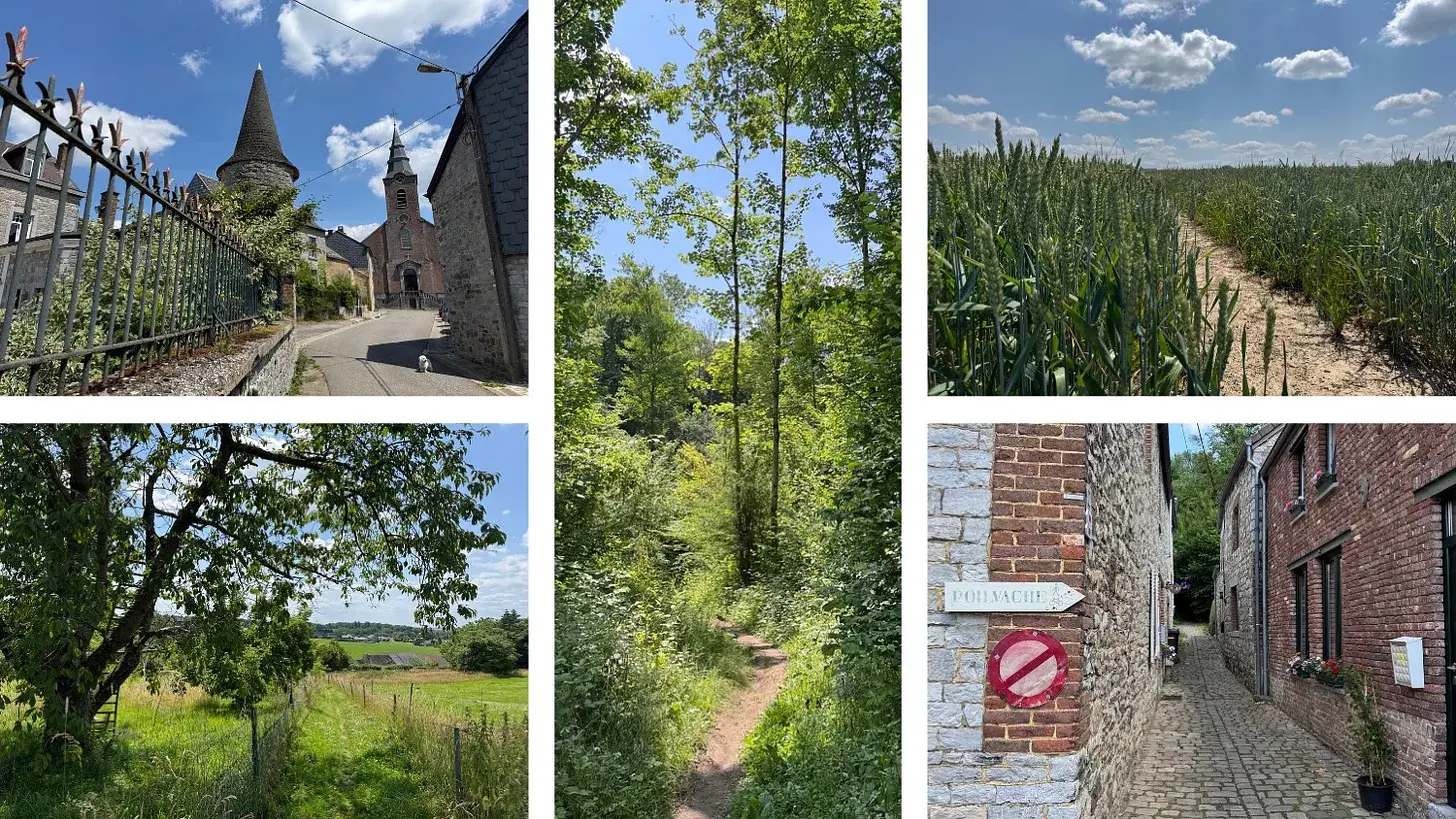
Descending at last past Leffe Abbey, whose beer is now brewed under licence elsewhere, I walked into Dinant along a road closed to traffic, past the birthplace of saxophone inventor Adolphe Sax and the bridge where a young Charles de Gaulle led a doomed 1914 counter-charge and was wounded, now named for him.
Stage 10: Dinant to Gendron-Celles
- Distance
- 13.6
- Unpaved
- 77
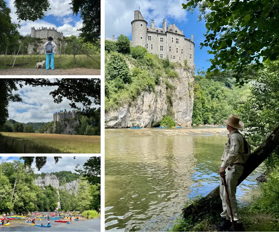
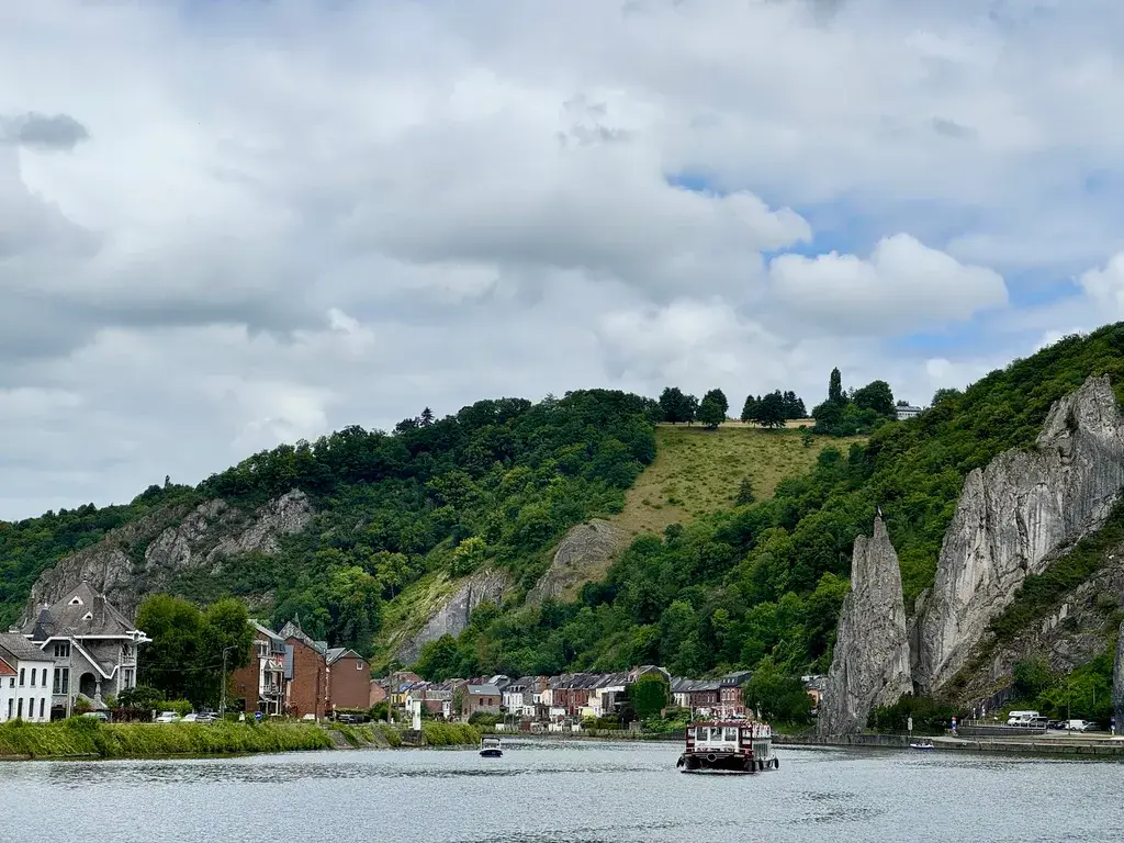
From Dinant station Jessica, Einstein and I crossed the Charles de Gaulle bridge and turned south along the Meuse past the Rocher Bayard, the crag legend says was split by a leaping horse, or perhaps blasted by Louis XIV's engineers, and past the spot below Namur where Belgium's alpinist King Albert I fell to his death in 1934.
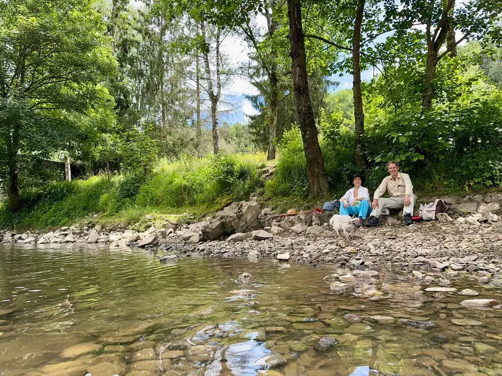
At Anseremme, where the Lesse joins the Meuse, we picked up the river path amid a happy procession of kayakers, sharing the narrow track with a Dutch group struggling along on electric scooter-bikes. We arrived, unexpectedly, before the Château de Walzin, a fairy-tale castle on a cliff above the river that stopped me in my tracks, and later cooled off with a swim in the shallow, cold water of the Lesse itself.
A riverside café, La Flobette, and a beer from the local Lesse Brewery rounded off what I still think may be the prettiest of all twenty stages, before we finished under a stone bridge at Gendron-Celles with time to spare before our train.
Stage 11: Gendron-Celles to Villers-sur-Lesse
- Distance
- 19.4
- Unpaved
- 87
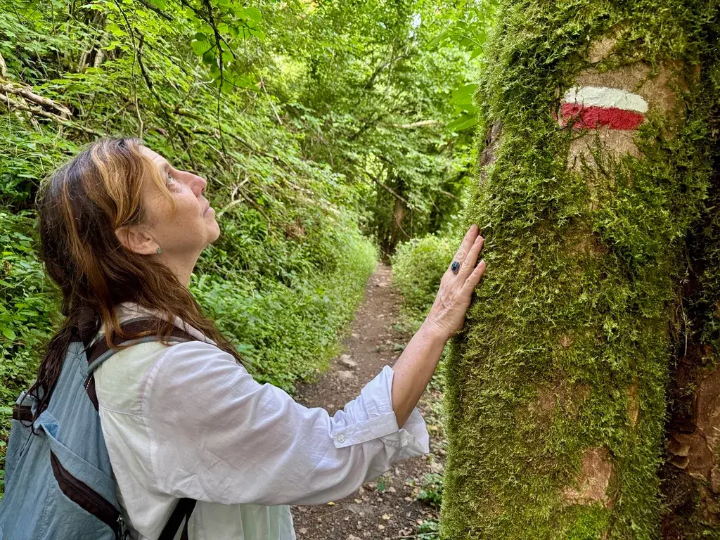
At the Brux-to-Lux Trail's roughly half-way point, Jessica and I climbed a surprisingly steep, officially 'alpine' hill out of Gendron-Celles rather than staying with the Lesse, giving us fine views but also dense woods that hid the wider landscape. On the way down we passed a Flemish couple calling for an ambulance for an injured walker, and later found the charmingly named Ywoigne stream running in complete silence.
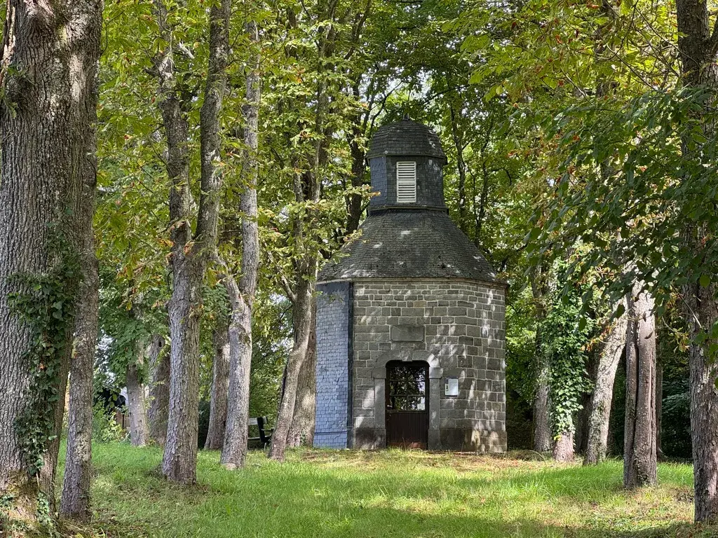
A circular royal railway halt, built to lift Leopold II's carriages up to his hunting château, sat unnoticed above us until I read about it afterwards. We passed a buvette selling cheese and beer at Houyet, crossed onto the crumbly slate and shale bedrock of the Famenne, and found the going underfoot audibly changing character.
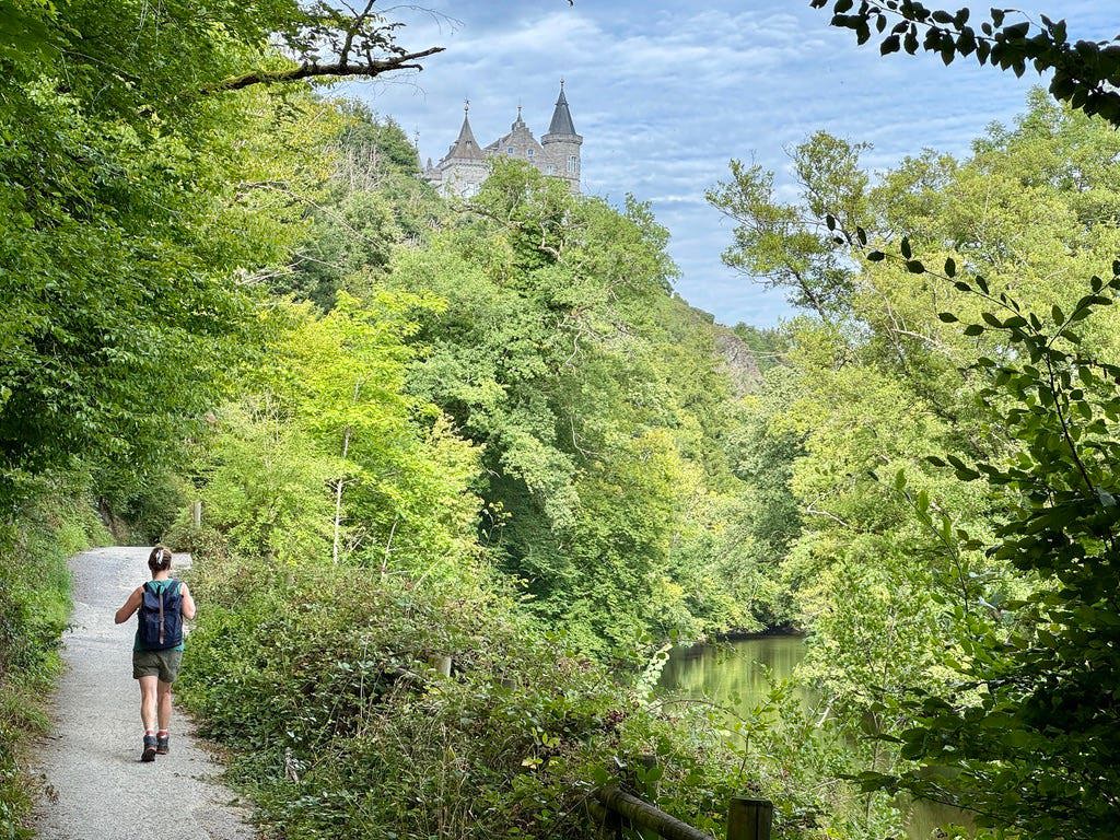
A short stretch of the old Ravel railway line brought us under the E411 motorway to Luxembourg, running oddly parallel to our own much longer route, before we reached the royal château of Ciergnon glimpsed above the Lesse, and finished the day at a small hotel and a good dinner under a wisteria in Villers-sur-Lesse.
Stage 12: Villers-sur-Lesse to Rochefort-Jemelle
- Distance
- 18
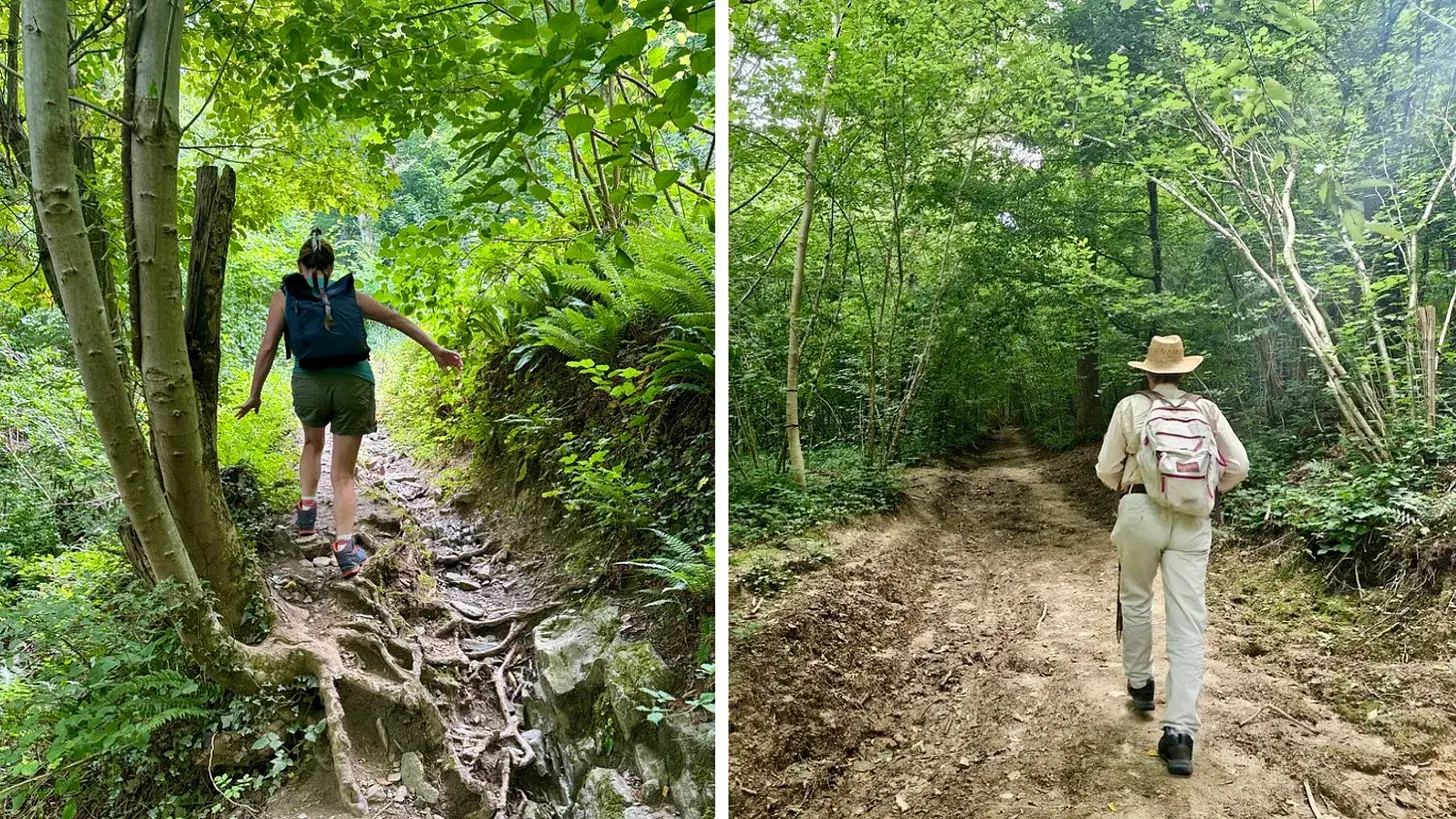
Our host Alain, over a lavish breakfast, told us: 'here in the Famenne we have a bit of everything… the trouble with the Ardennes is that it's all just rivers and forests.' The first version of this stage proved him half right: tempted by a converted railway line, I found myself on 90% asphalt and roads, so unsatisfying that I went back and walked it again a different way.
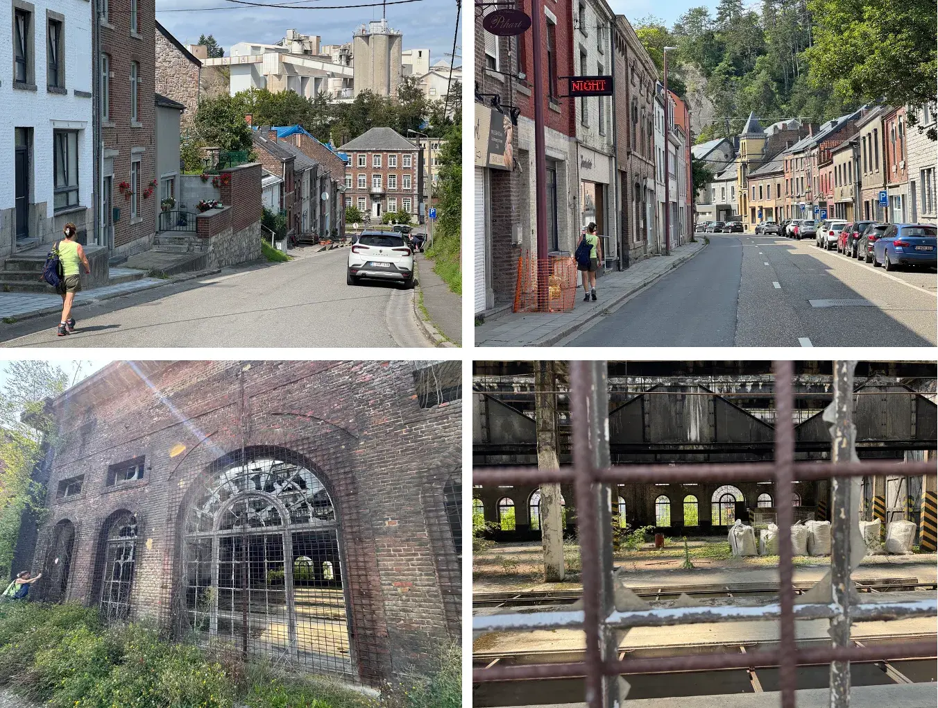
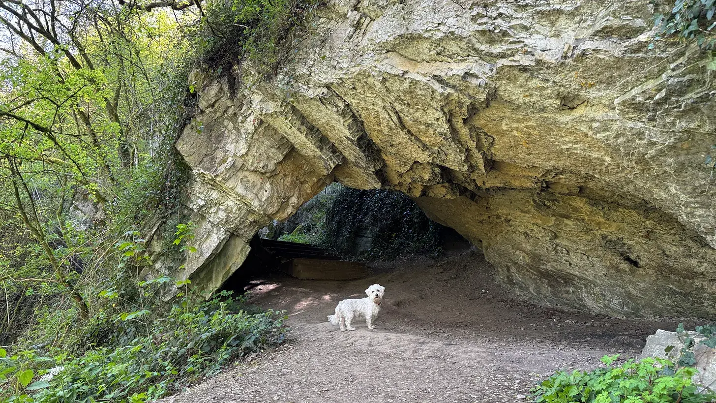
The better route ran south from Éprave, past a chapel built after an 1855 cholera epidemic, to the 'emergence' of a tributary of the Lomme bubbling up from ninety metres underground through a slate hillock, then climbed four kilometres of good earthen path to a lookout above Rochefort. The last stretch to Rochefort-Jemelle station followed the old railway line past mossy, four-hundred-million-year-old Devonian rock outcrops and a decaying industrial depot, ending near the quicklime works whose expansion the local abbey's monks had fought off to protect the water they need for their beer.
Stage 13: Rochefort-Jemelle to Grupont
- Distance
- 18.5
- High point
- 370
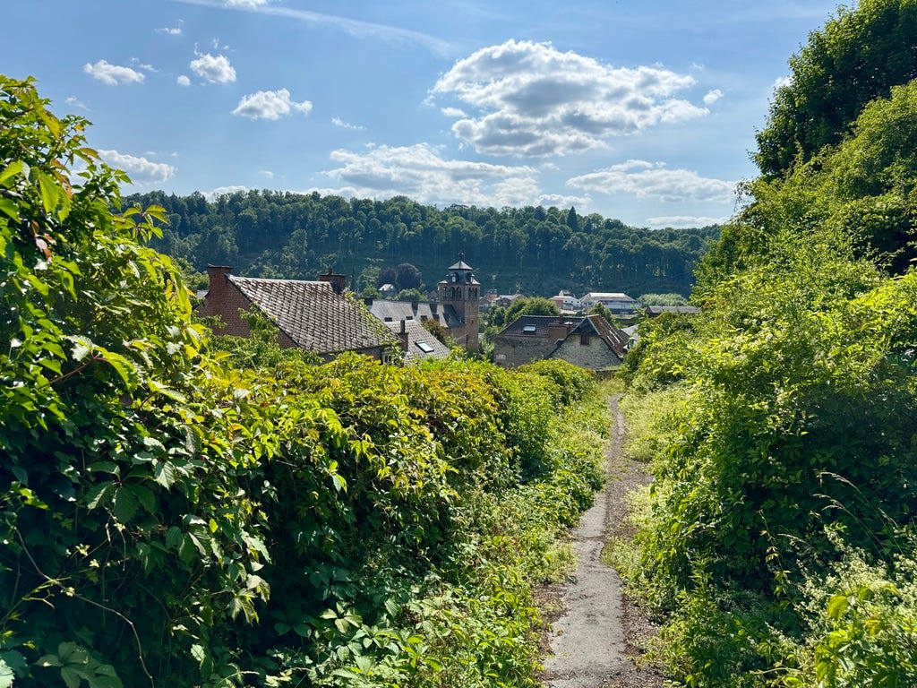
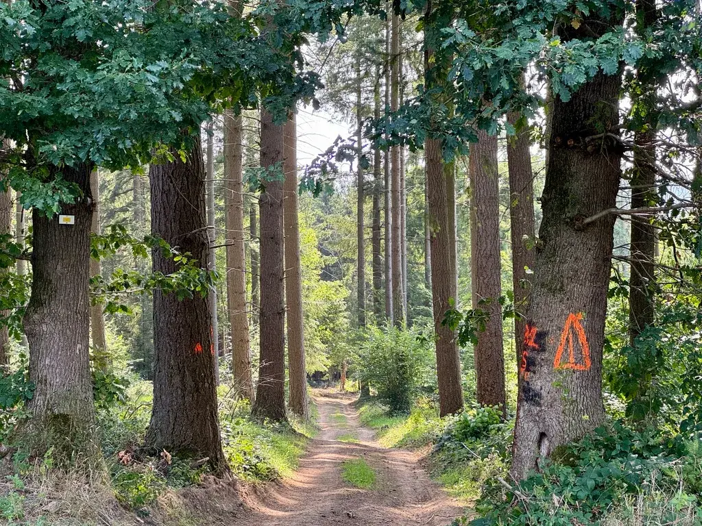
A missed bus sent me up an unplanned back route out of Rochefort-Jemelle station, over hills instead of along the rivers, and it turned out to be one of the finest surprises of the trail: I climbed to La Copette des Tiers, at 370 metres the highest point I'd reached so far, with a view I later realised stretched into France.
Blackberries lined the path most of the way, through the stone-built village of Ambly and on past a Prussian-quiet countryside I later corrected in a footnote, once a still higher point turned up on a later stage. Coming down toward Grupont, I lost my dog Einstein's collar, tied round my waist while clearing branches, and had to run back uphill in a race against the last train, finding it at last in a heap of leaves moments before we needed to sprint for the platform.
Stage 14: Grupont to Poix-Saint Hubert
- Distance
- 13
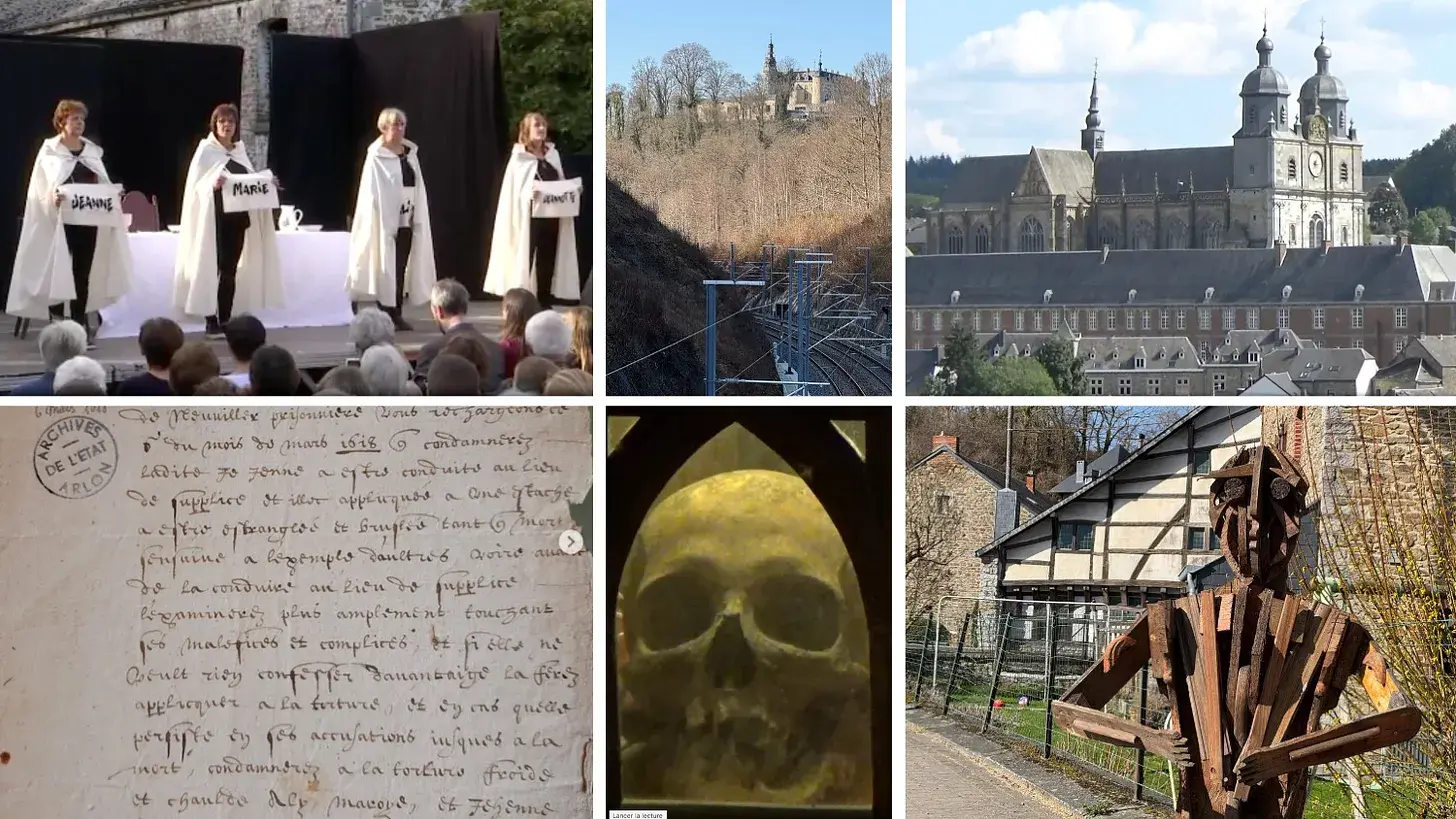
I hadn't noticed, on the previous stage, that Grupont's pretty half-timbered house, its chateau and its abbey were all bound up in one dreadful story: the burning at the stake in 1618 of four sisters, the Jamins, accused of witchcraft after a trial at the town's so-called Spanish House. Jessica and I spent a good half hour finding out more before we set off along the river Lomme.
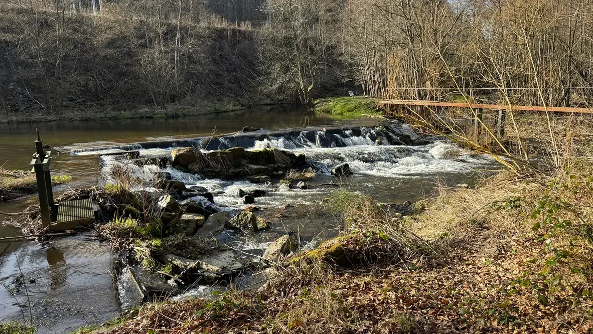
At the château de Mirwart, where the sisters were tortured with a rack and forced draughts of scalding and freezing water, we stayed down by the river rather than climbing up to the ruins, but I read the historical accounts on Grupont's information boards later with a chill: about a third of those executed for witchcraft in this part of the Southern Netherlands were never even properly identified. We finished the day beside fine nineteenth-century railway bridges and small hydroelectric mills, arriving at Poix-Saint Hubert, whose old abbot, Nicolas de Fanson, had overseen the sisters' prosecution eight centuries after his abbey's founding.
Stage 15: Poix-Saint Hubert to Libramont
- Distance
- 20
- Unpaved
- 87
- High point
- 560
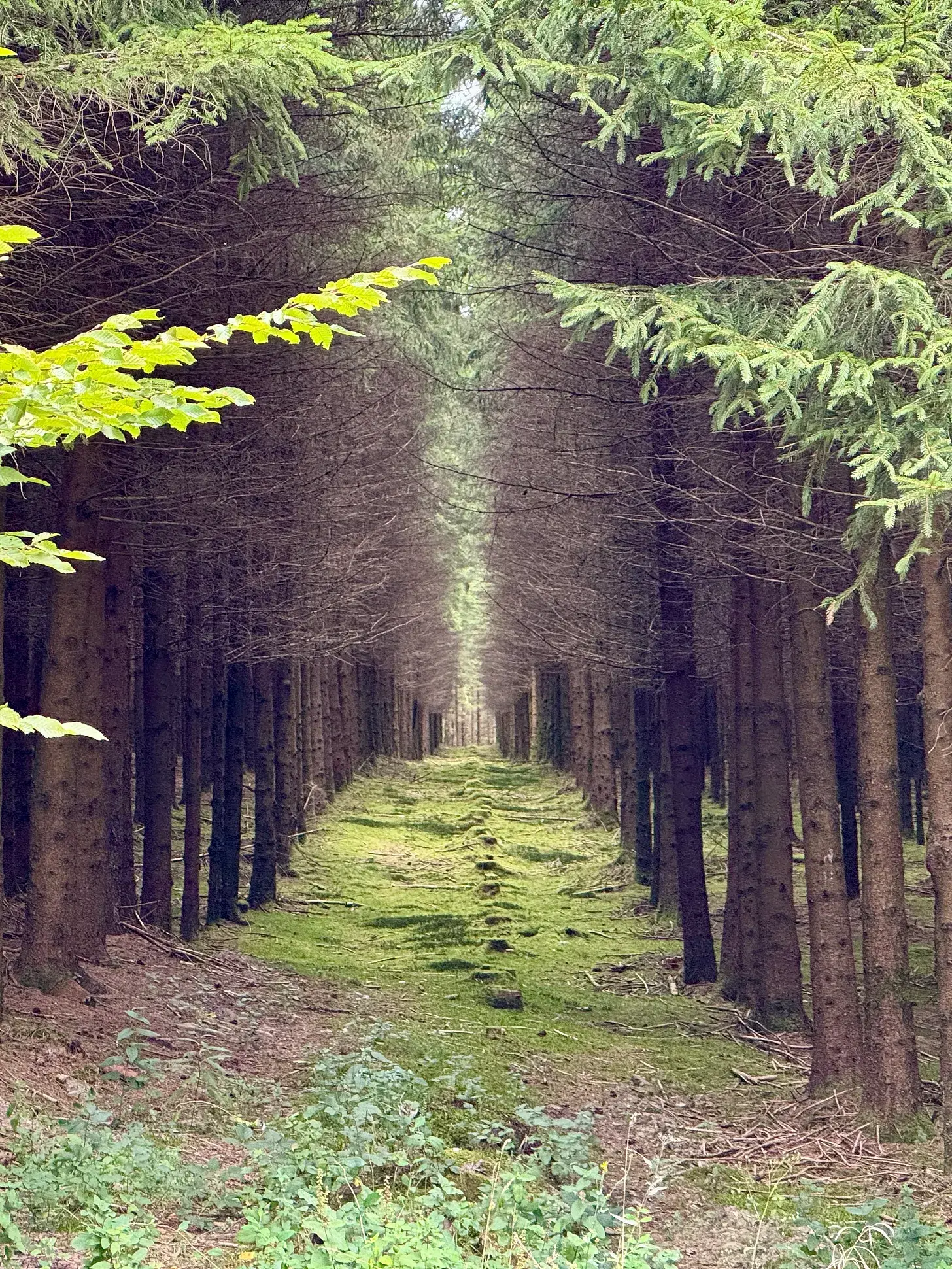
Following the shrinking Lomme upstream into deeper, darker Ardennes forest, I passed shooting stand after shooting stand, evidence of Belgium's serious hunting culture, and once heard shots ring out for what must have been a wild boar. I thought about Saint Hubert himself, the seventh-century hunter turned bishop for whom this forest is named, who reputedly gave up the chase after a stag he was pursuing turned to reveal a crucifix between its antlers, yet who is now, oddly, the patron saint of hunters.
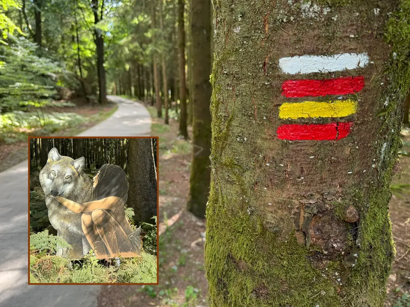
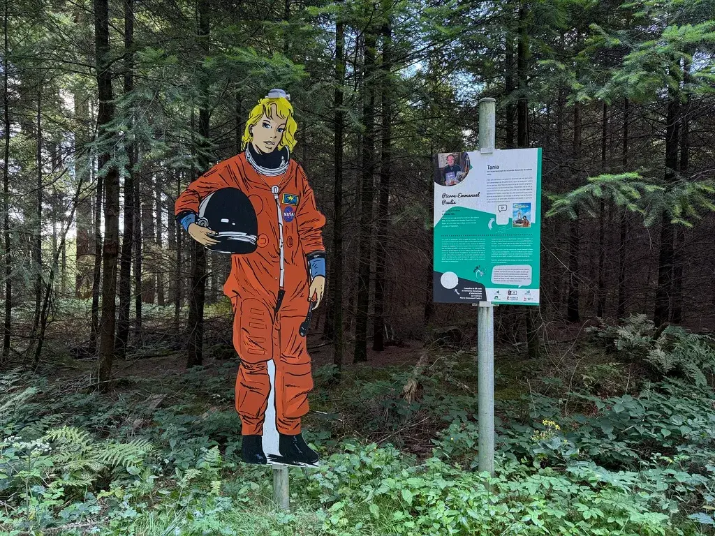
My own path lost itself for a while in undergrowth as I climbed, unknowingly, to 560 metres, the highest point of the whole trail so far, correcting an earlier stage's claim to that title. Cardboard cut-outs of a fictional astronaut and a comic-strip wolf marked Libramont's approach through its forestry industry, and I finished, tired, in a bar opposite the station, nursing a beer and thinking that I still preferred walking the paths to sitting in wait on a hunting stand.
Stage 16: Libramont to Neufchâteau
- Distance
- 18
Rushing my planning for this stage led me astray in a useful way: trying to beat the official, tarmac-heavy grand randonnée route, my own 'better' path turned out to be over half paved as well, but it led me past the entrance to Libramont's small Museum of the Celts, and into a chance education about the Celtic Belgae, ancient ancestors of the region whose art, rediscovered in the nineteenth century, helped inspire Belgian Art Nouveau.
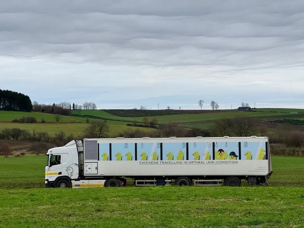
Past an industrial chicken farm and its cheerfully painted delivery truck, I made a navigational error of my own, accidentally adding the town of Neufchâteau as an unwanted waypoint and nearly missing my train chasing the mistake back uphill. I made it by minutes, having learned, again, how easily an app can lead a walker astray, and how easily a walker can lead himself astray trying to outrun it.
Stage 17: Neufchâteau to Marbehan
- Distance
- 32
- Unpaved
- 80
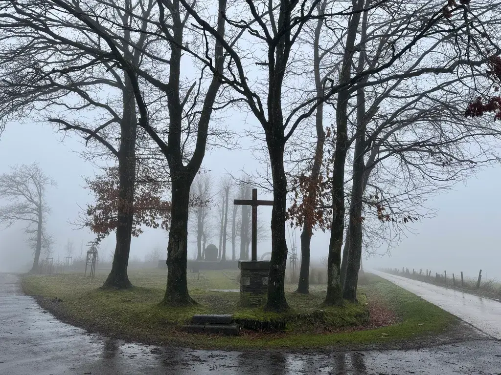
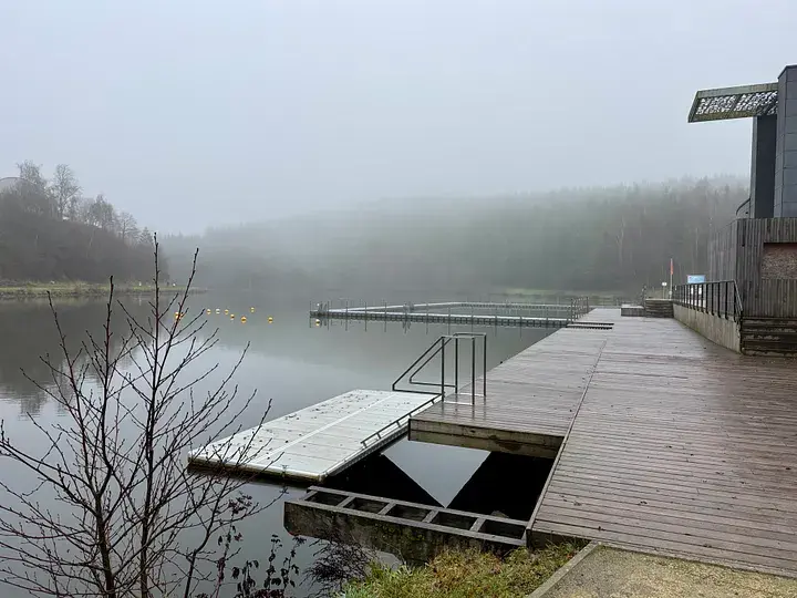
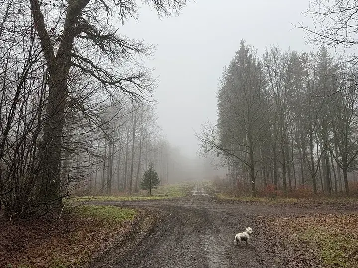
I set out at 5.30am on the trail's longest single hike, into a spooky, fog-bound Ardennes morning, without knowing that I would spend the whole day, unwittingly, walking the ground of August 1914's Battle of the Frontiers, in which more French soldiers died on a single day, 22 August, than in the whole Battle of Waterloo. A German war memorial on the ridge above Neufchâteau was my first clue.
My own imagination ran ahead of me: saplings became soldiers, moss became something ghostly, a bundle of dead leaves became, briefly and horribly, a hanging child. Only afterwards did I learn that the route I'd walked to Suxy and on toward Marbehan overlapped almost exactly with the French advance that met a much larger German force in fog near Rossignol, and that a war cemetery I passed, Plateau, marked where the two armies first collided. In the days after the battle, German forces executed 123 civilians rounded up in Rossignol at Marbehan station itself, a plaque on the building now recording it. Einstein and I speed-walked the last five kilometres to catch our train home, both of us wet, muddy and quiet.
Stage 18: Marbehan to Oberpallen
- Distance
- 35.6
- Unpaved
- 75
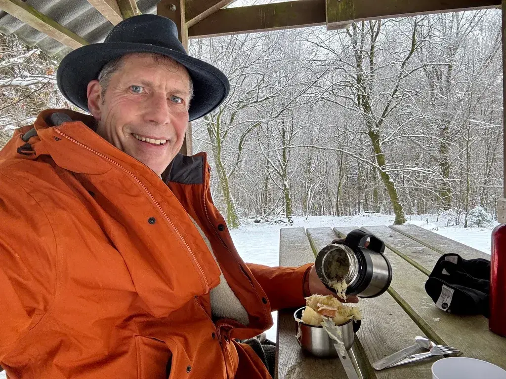
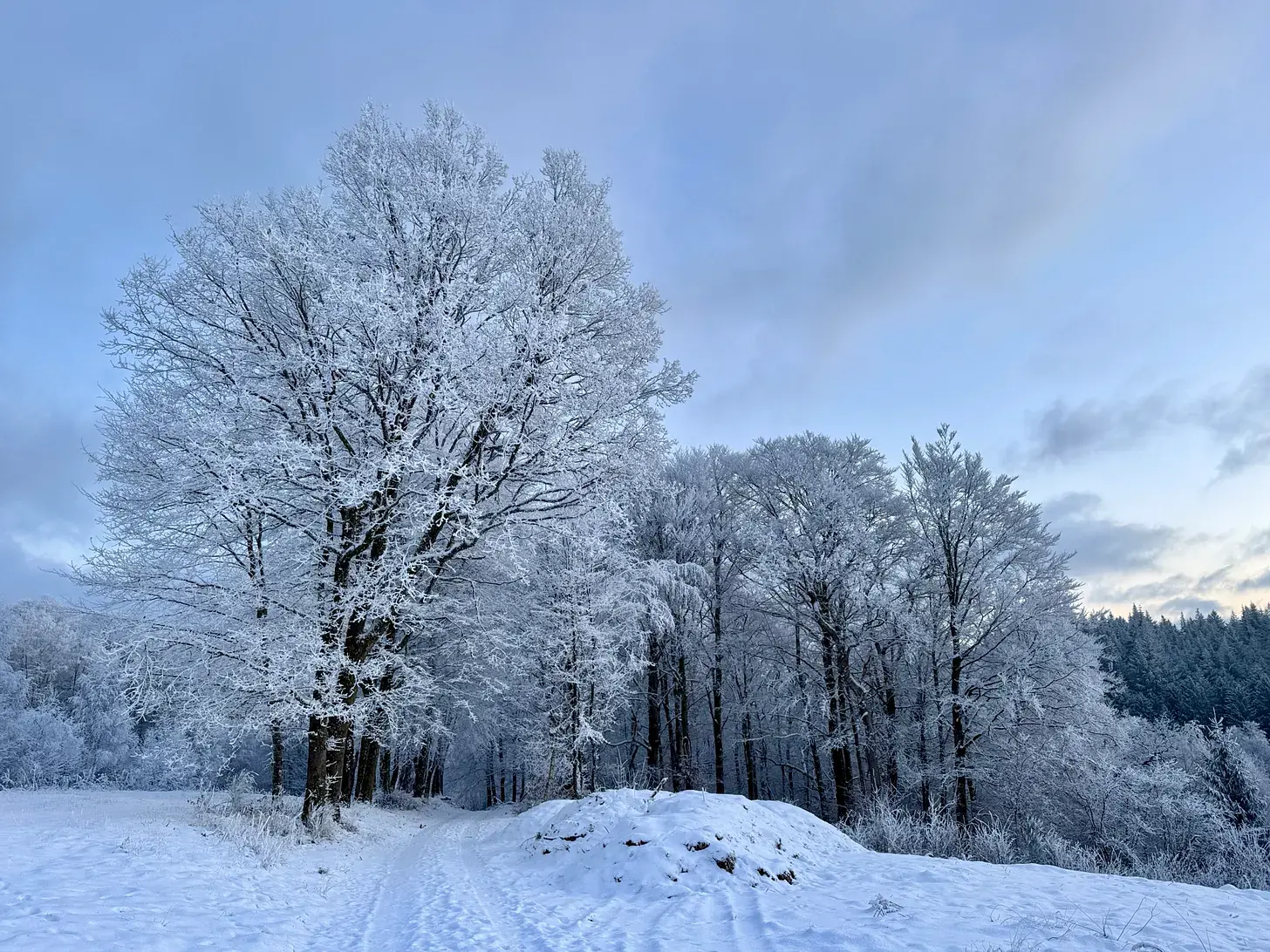
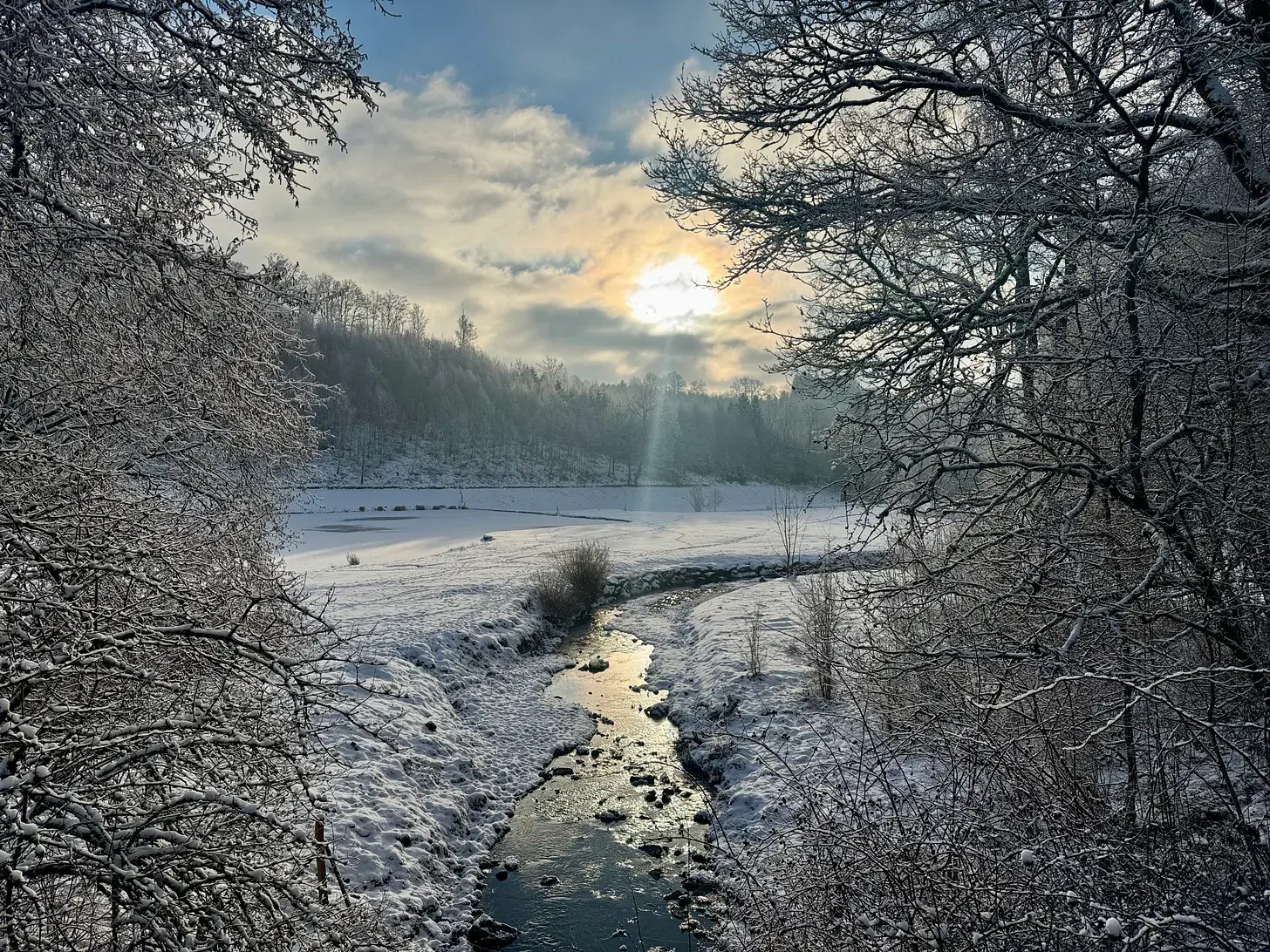
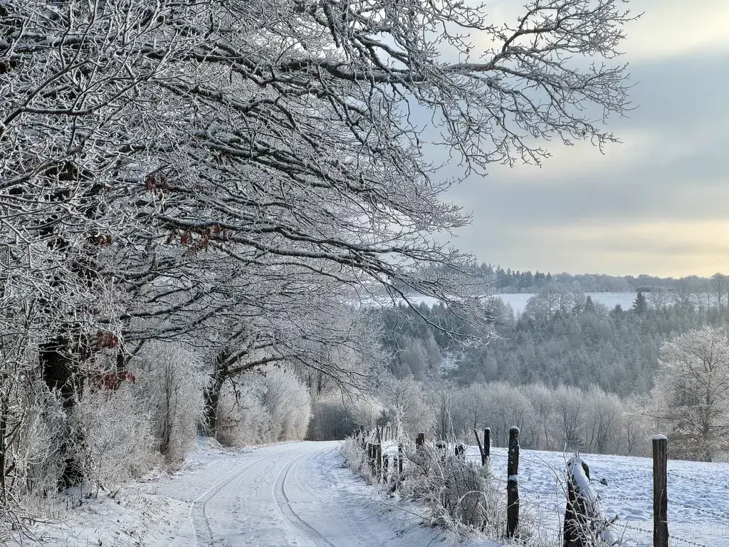
I'd fantasised since my first days on the trail about arriving in Luxembourg under snow, and one January morning, after a storm, I set off alone, without Einstein, on foot from Marbehan for what would be a 35.6km push for the border. Snow made everything harder than it looked, and I discovered muscles I hadn't used to manage the alpine sticks I'd brought.
Sunlight breaking through misty forest gave me one of the loveliest moments of the whole trail, near the ski-resort village of Anlier, before I crossed, by nightfall, into the region once known as Lorraine, still spiritually and linguistically part of it on the Belgian side of the border. Villages here still burn effigies of witches at spring bonfires, and I learned about the usoirs, the shared strips of ground in front of houses once piled with dung as a mark of prosperity. Near Nobressart, marauding Polish cavalry serving the Habsburgs massacred all but thirteen villagers during the Thirty Years War. Exhausted, I found the 125th of 287 iron boundary bollards set after the 1839 Conference of London, and stepped over the Belgium-Luxembourg border on a snowy forest path, reaching Oberpallen after dark for a bus to Arlon and the train home.
Stage 19: Oberpallen to Bour
- Distance
- 20.3
- Unpaved
- 82
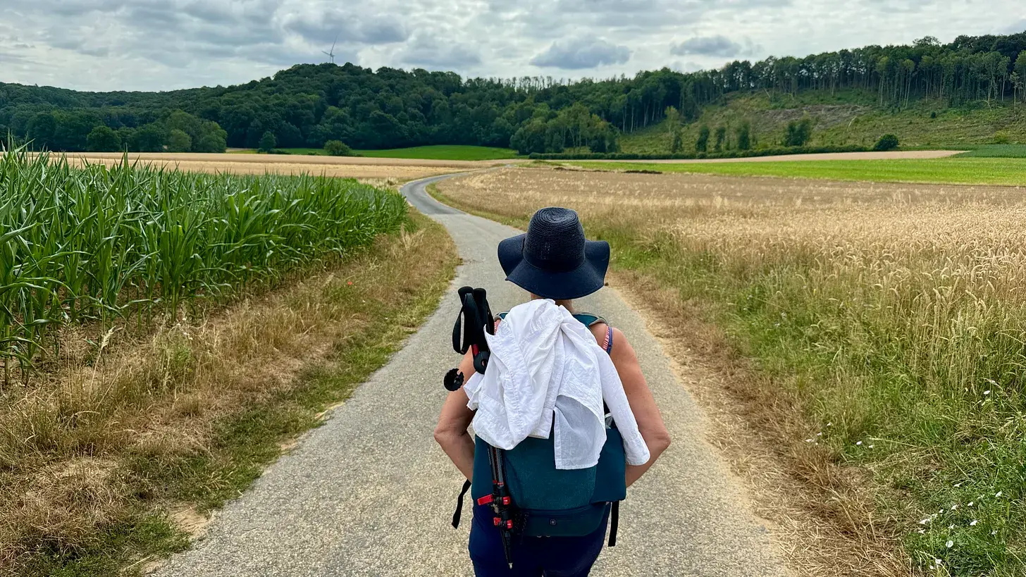
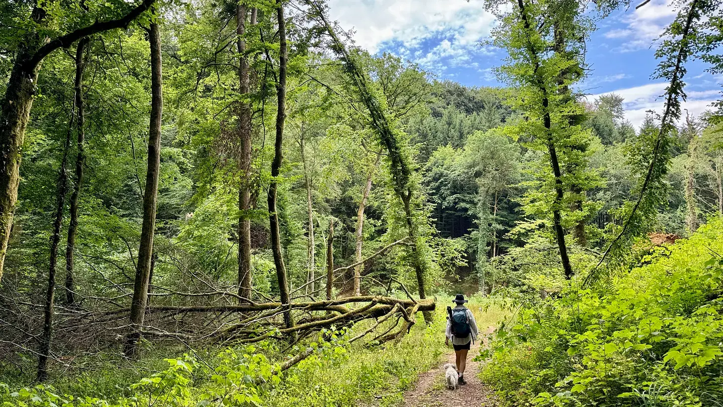
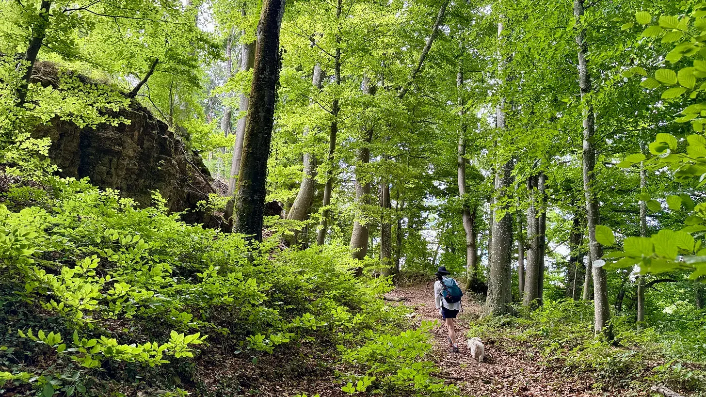
Jessica and I took nearly four hours to reach the start of this stage, deciding to break the last two days with a night in Luxembourg. Summer had transformed the country since my snowbound crossing: fields of maize and wheat stood ready for harvest, and four-fifths of the day's route ran under trees, an experience Luxembourg's own tourist board calls forest bathing.
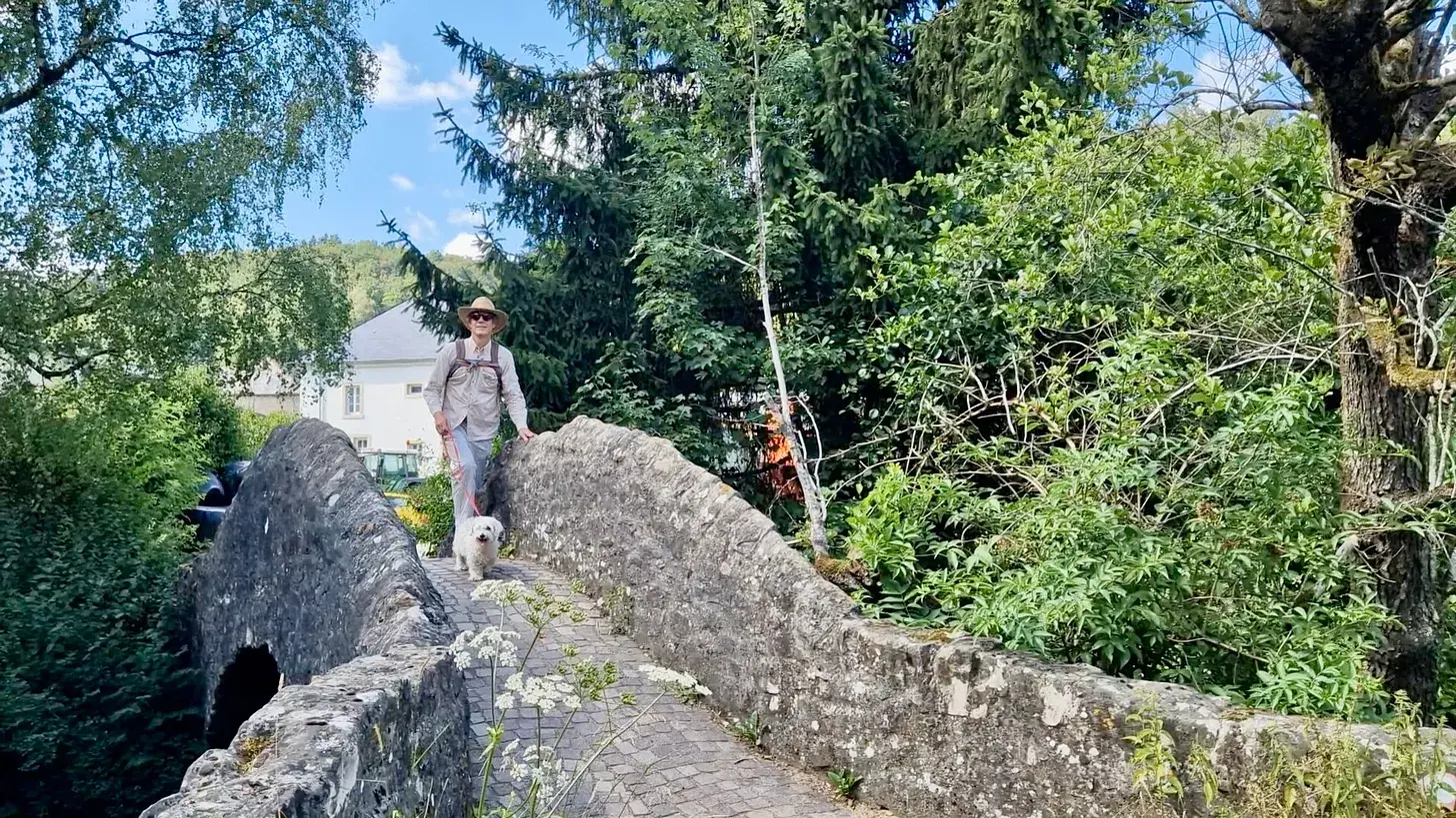
We crossed and recrossed the border repeatedly among old iron bollards, passed a solar-powered water purification station that delighted Jessica, and rested at the wood-panelled Chalet de Kreuzerbuch. A ruined castle at Sieweburen, once a Roman-era fort, later fortified again against Norman raiders, now stood half rewilded with a locked Mercedes flashing us a warning. After a stubborn campsite manager refused us a shortcut, forcing a stretch along a busy road, we finished the last kilometres balanced between fields and forest, reaching our hotel at Bour with the sense that Luxembourg's wealth and its woods sat unusually close together.
Stage 20: Bour to Luxembourg city
- Distance
- 27.1
- Unpaved
- 64
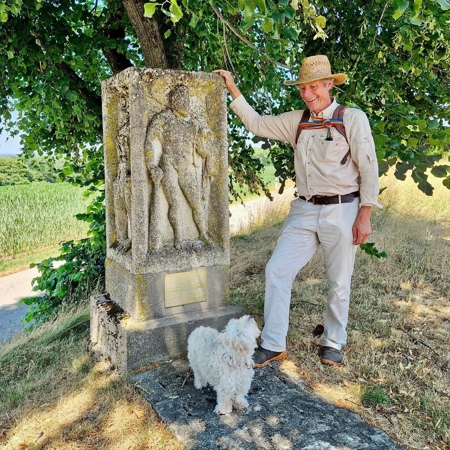
On this last, twentieth stage, Jessica and I climbed to the Krékelbierg plateau, where a farmer's plough had once struck a Gallo-Roman amphora, uncovering graves of well-off early Roman-era residents complete with an Italian bronze lantern and a Spanish wine amphora. At Schönberg chapel we found a facsimile of a Jupiter Column's base, its carved Hercules later remodelled into a Christian saint and hidden under panelling for two centuries before rediscovery.
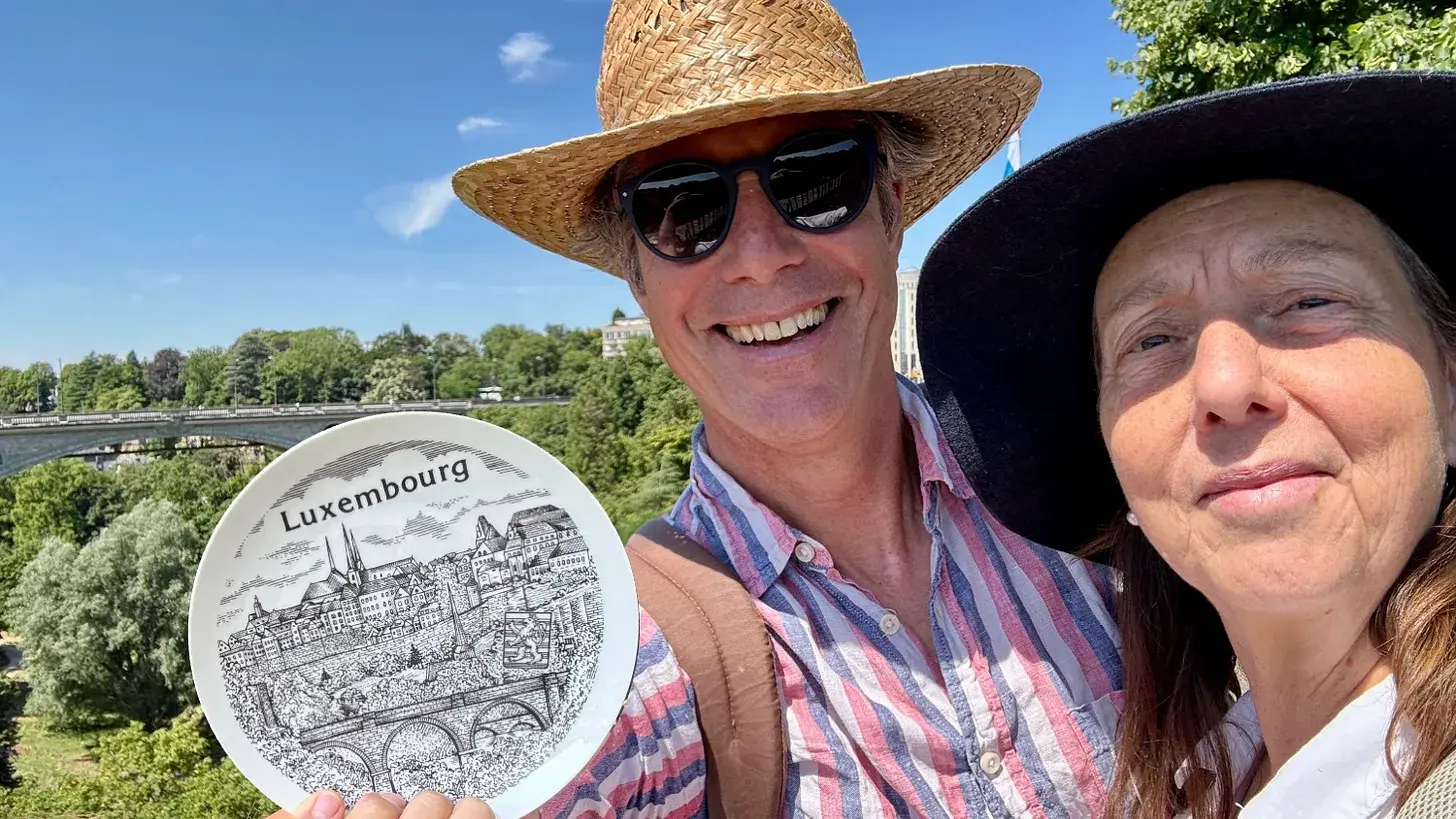
We crossed into forest for the final approach into Luxembourg city, reaching our hotel where it meets the woods, and later walked up to tea with an old friend, Turkish ambassador Faruk Kaymakçı, for a long conversation about Turkey, Britain and the European Union that we'd both, in our different ways, given decades of our working lives to.
We finished by the war memorial's Golden Lady, past the City Hall where the European Coal and Steel Community first met in 1952, and in the National Art and History Museum I finally found the real Hercules stone from Schönberg. The train line home ran for just 199km, roughly half the distance I'd deliberately wandered to cover it on foot, and slowing down for a year to do so had, I felt, changed how I understood the country I live in, and Europe with it.
Highlights
- The fairy-tale Château de Walzin above the river Lesse, and a cold-water swim beneath it
- The Battle of the Frontiers forests around Neufchâteau and Rossignol, and the French war cemeteries hidden among them
- The Gallo-Roman graves of Krékelbierg and the Jupiter Column stone at Schönberg chapel, near the trail's end in Luxembourg
- Forest bathing through the Habscht Forest into Luxembourg on stage 19
- The witch trial sites at Grupont and Mirwart castle on the river Lomme
- Crossing the 1839 Belgium-Luxembourg border on foot at an original iron boundary bollard
Whereabouts
- Runs south-east from central Brussels through Walloon Brabant, the Namur river country (Meuse, Lesse, Lomme), the Famenne, the Belgian Ardennes and Belgian Lorraine, crossing into Luxembourg near Oberpallen and finishing in Luxembourg city
- 360km of walking against a direct crow-flight distance of about 180km, deliberately wandering to stay on paths and away from roads
Must-Know
- Almost every stage was planned to start and end at a station or bus stop reachable from Brussels in a day, though some later stages needed a night away
- Belgium's official grand randonnée long-distance trails often follow roads and tarmac; a better, quieter route usually had to be pieced together separately
- Hunting takes place in Ardennes forests through much of the year (wild boar year-round, deer October-December); a red notice marks a path where hunting is in progress
- Public transport in Luxembourg is free
Trail Notes
- More than 80% of the route avoids asphalt, mostly on forest tracks, farm lanes and riverside paths
- Sections along the Meuse and Lesse near Dinant and Anseremme are shared with cyclists and can be busy in summer
- Snow, mud and unmarked forest tracks caused several routefinding problems, especially in the Ardennes and Lorraine sections
- A phone hiking app (Komoot) with GPX files was essential throughout; paper maps and official signage were not reliable enough alone
Hazards
- Hunting stands and driven hunts are common in the Ardennes forests; check regional hunting-date listings if walking outside summer
- Winter walking after snowfall is far slower and harder than it looks, and hides streams and uneven ground underfoot
- Riverside cycle paths near Namur and Dinant carry fast bicycle and e-scooter traffic
Weather Window
- The stages were walked across a full year and in every season, from summer heatwaves to a January snowstorm, since the author waited for good weather rather than following a fixed schedule
- Winter stages in the high Ardennes involve genuine snow and ice; summer stages in open country can be very exposed to heat
Access
- Nearly every stage start and end point is served by Belgium's SNCB trains or regional buses, making it possible to walk from Brussels and be home the same night for most of the route
- The last stages, from Marbehan to Luxembourg city, are better done with an overnight stay in Luxembourg, reached via Arlon
- Luxembourg city has direct rail connections back to Brussels, journey about three hours